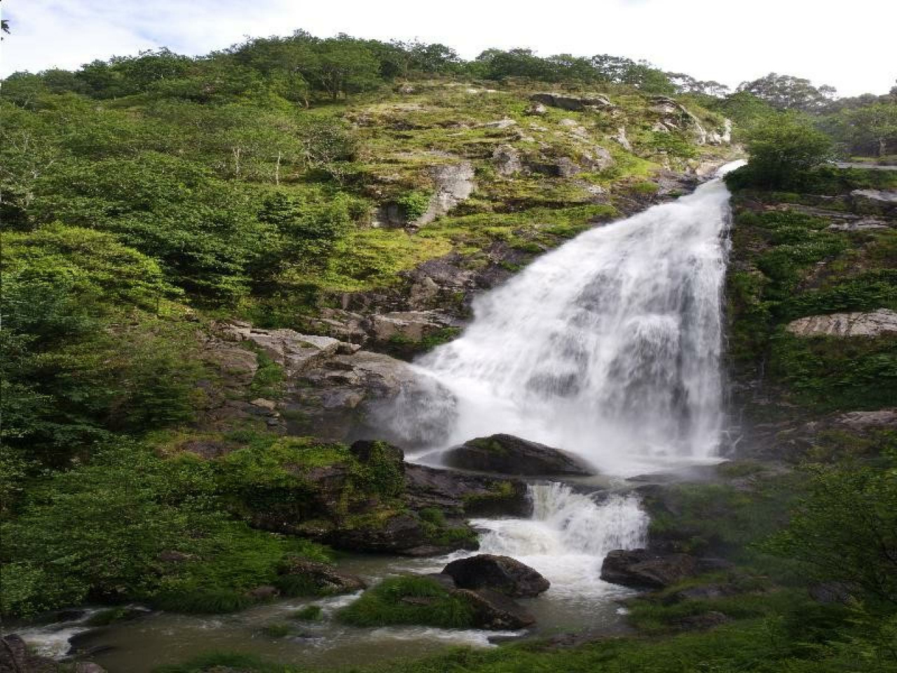
Belelle, Corrente de Ideas

Belelle, Corrente de Ideas

Route data

Distance
15.7 Km
Duration
6h 12min
Lineal route
Difficulty
Difficult
Max. elevation
69 m.
Max. elevation
416 m.

Weather forecast

Fene

Weather Image 12°C
Real feel 12°
broken clouds
  • Wed
    21/10

    Weather Image

    15° /11°

    Humidity Image 69%

  • Thu
    22/10

    Weather Image

    14° /13°

    Humidity Image 69%

  • Fri
    23/10

    Weather Image

    14° /11°

    Humidity Image 66%

This scenic hiking route features a gentle stream, attracting locals and tourists alike to enjoy its natural beauty and tranquil surroundings.

The Belelle River is the star of the Belelle Route, a stream of ideas that gently descends from A Capela, passing through Fene, and ending in Neda. This route is highly appreciated by local hikers who gather annually to enjoy it.

Weather forecast

Fene

Weather Image 12°C
Real feel 12°C
broken clouds
  • Wed
    21/10

    Weather Image

    15° /11°

    Humidity Image 69%

  • Thu
    22/10

    Weather Image

    14° /13°

    Humidity Image 69%

  • Fri
    23/10

    Weather Image

    14° /11°

    Humidity Image 66%