Back

Distance
20.5 Km


 13°C
Wed
21/10

15° /12°
 70%
Thu
22/10
15° /16°
72%
Fri
23/10

15° /15°
70%
This scenic coastal path features stunning cliff views, diverse wildlife, and the highest point in continental Europe, perfect for adventurous tourists.
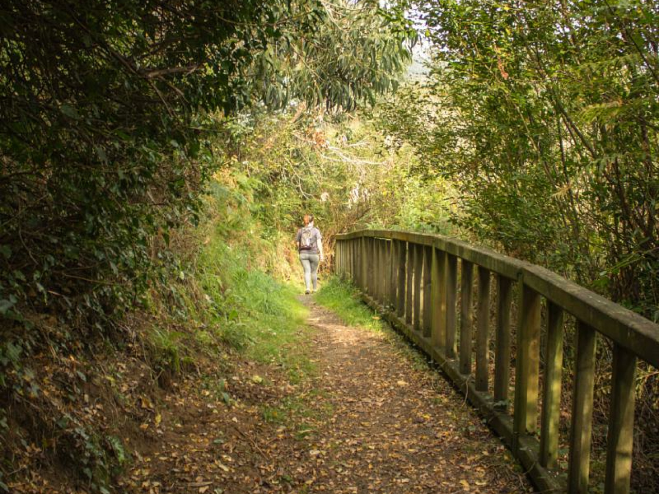
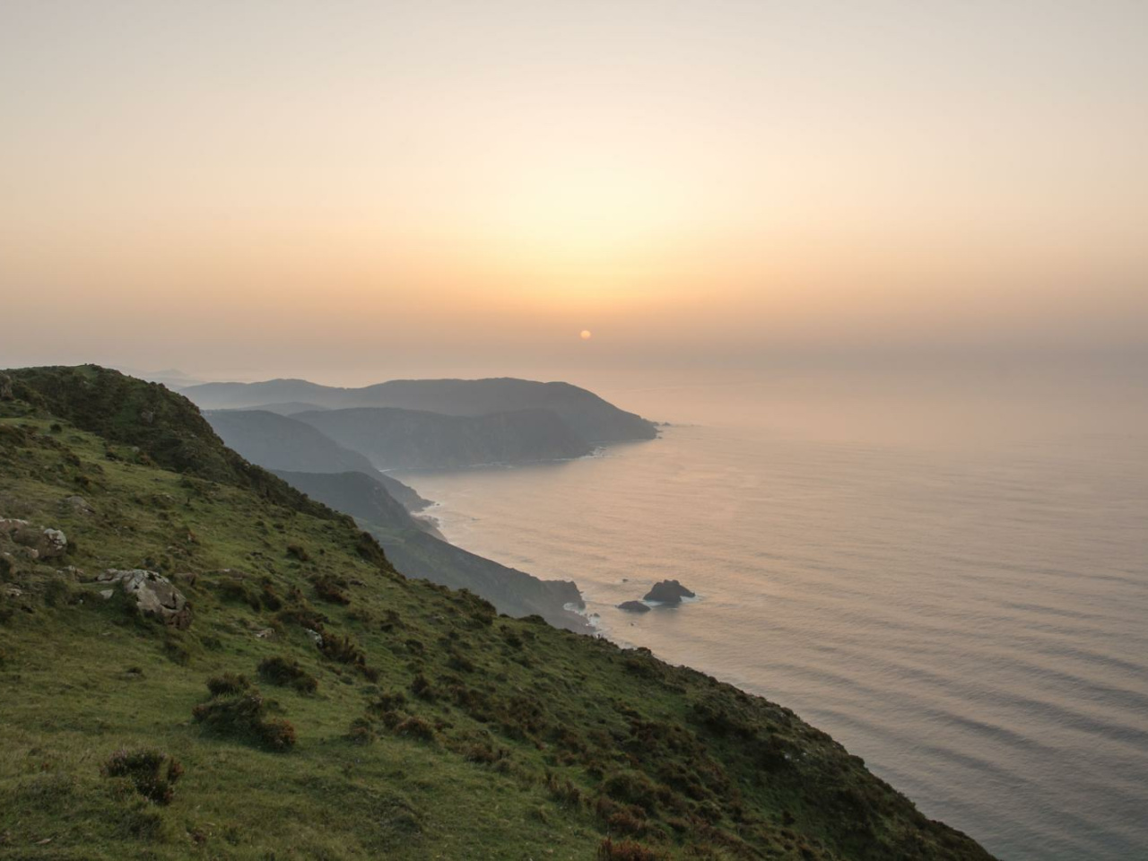
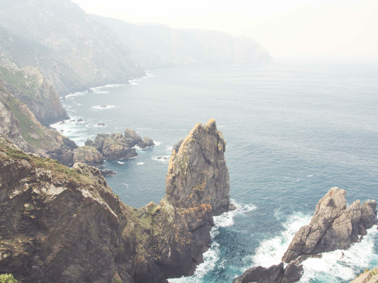
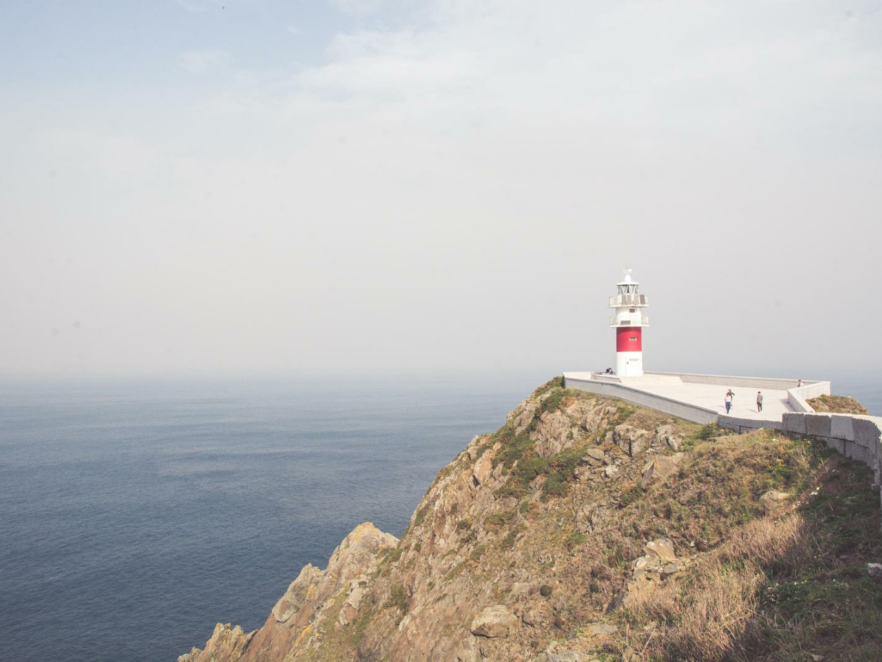
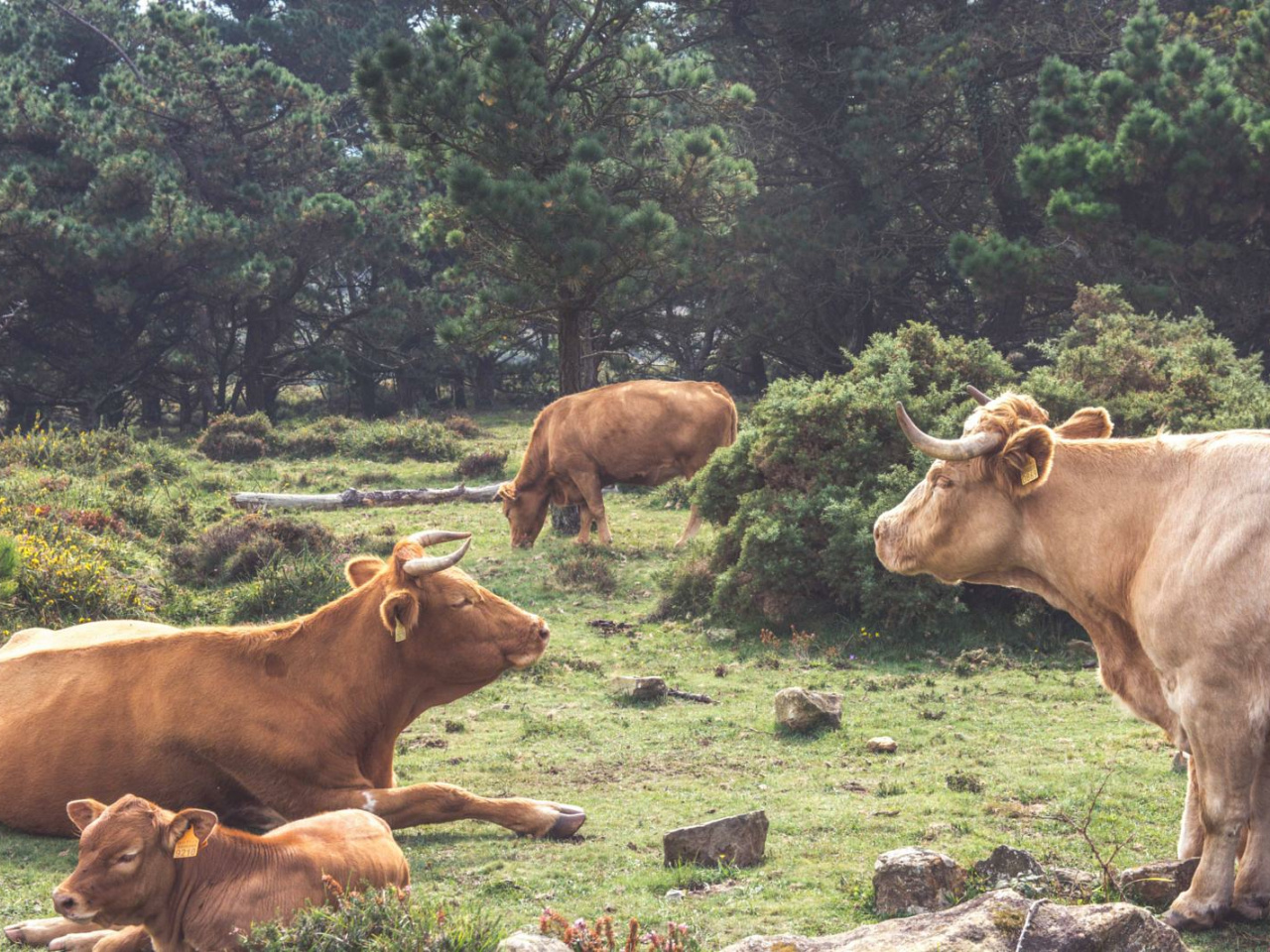
The Camiño dos Cantís, the cliff path, departs from the fishing village of Cariño and runs mostly along the high coastal cliffs, passing through Ortegal and toward Santo André. We'll take the road to the Mirador de Punta Gabeira, where we'll connect with the beautiful San Xiao path, which will take us to Cabo Ortegal. The next section, along forest tracks, will cross Monte Faroleiro and reach the Mirador da Fornela in Limo, where we'll begin to encounter the characteristic meadows of A Capelada, where cows and wild horses coexist in harmony. We'll continue along the road, reaching the Cantís do Cadro and Vixía da Herbeira, where we'll find ourselves at approximately 613 m (2,013 ft), the highest elevation above sea level in continental Europe. Once here, all that's left is to descend via the Teixedelo descent to the sanctuary.
13°CWed
21/10
15° /12°
70%
Thu
22/10
15° /16°
72%
Fri
23/10
15° /15°
70%