Back

Distance
40 Km


 16°C
Wed
21/10

15° /12°
 70%
Thu
22/10
14° /14°
72%
Fri
23/10

13° /13°
72%
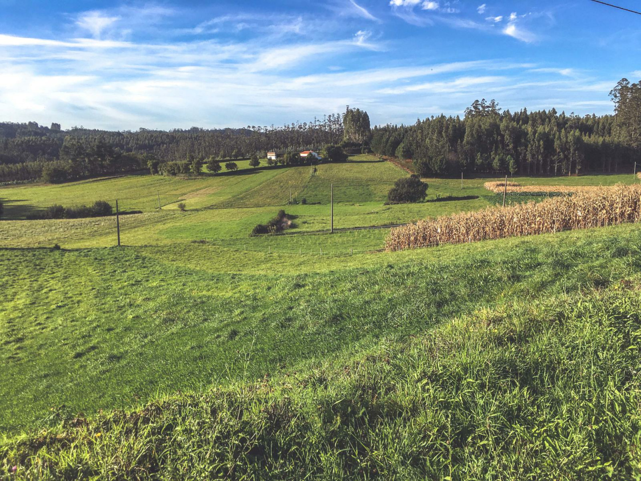
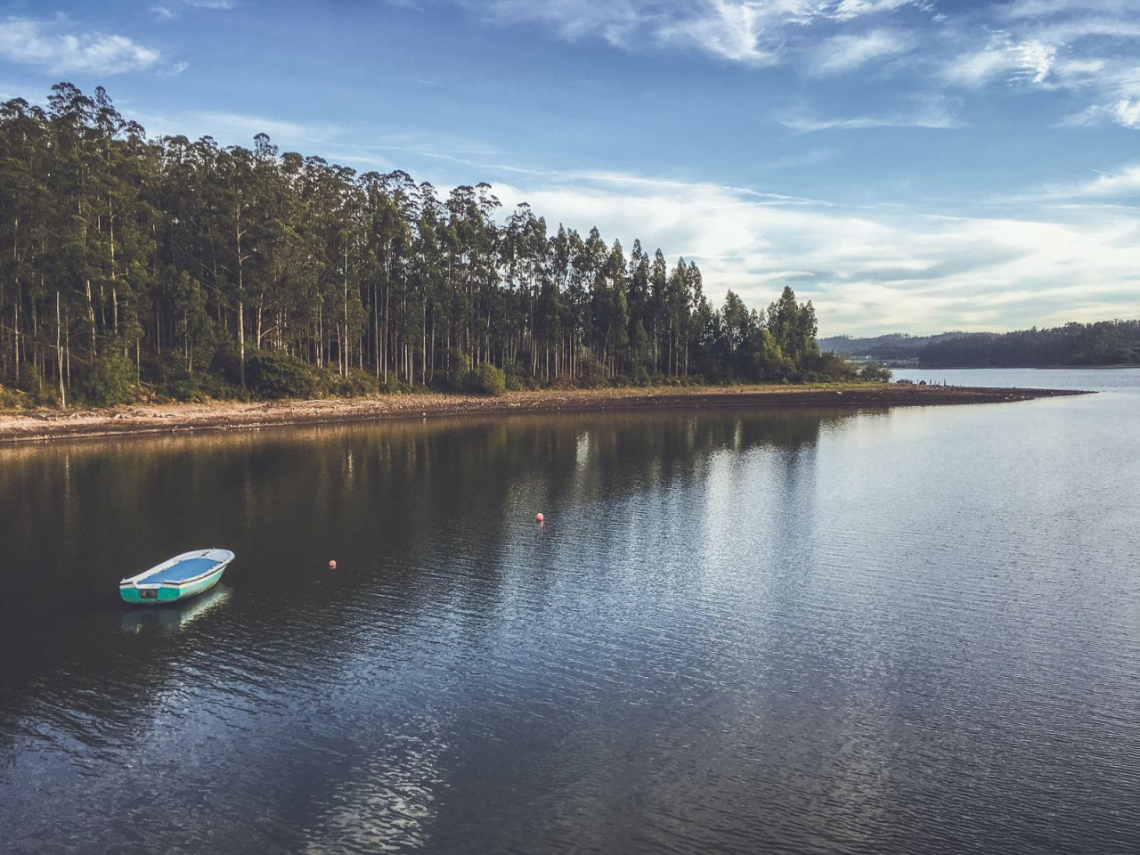
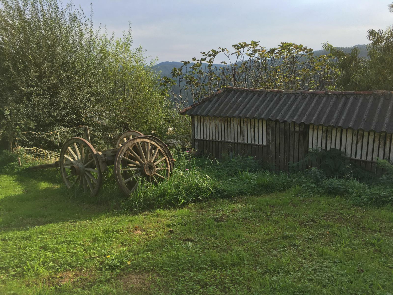
This historic pilgrimage route features scenic landscapes, ancient bridges, and a unique wish-granting fountain at its destination, attracting numerous visitors.
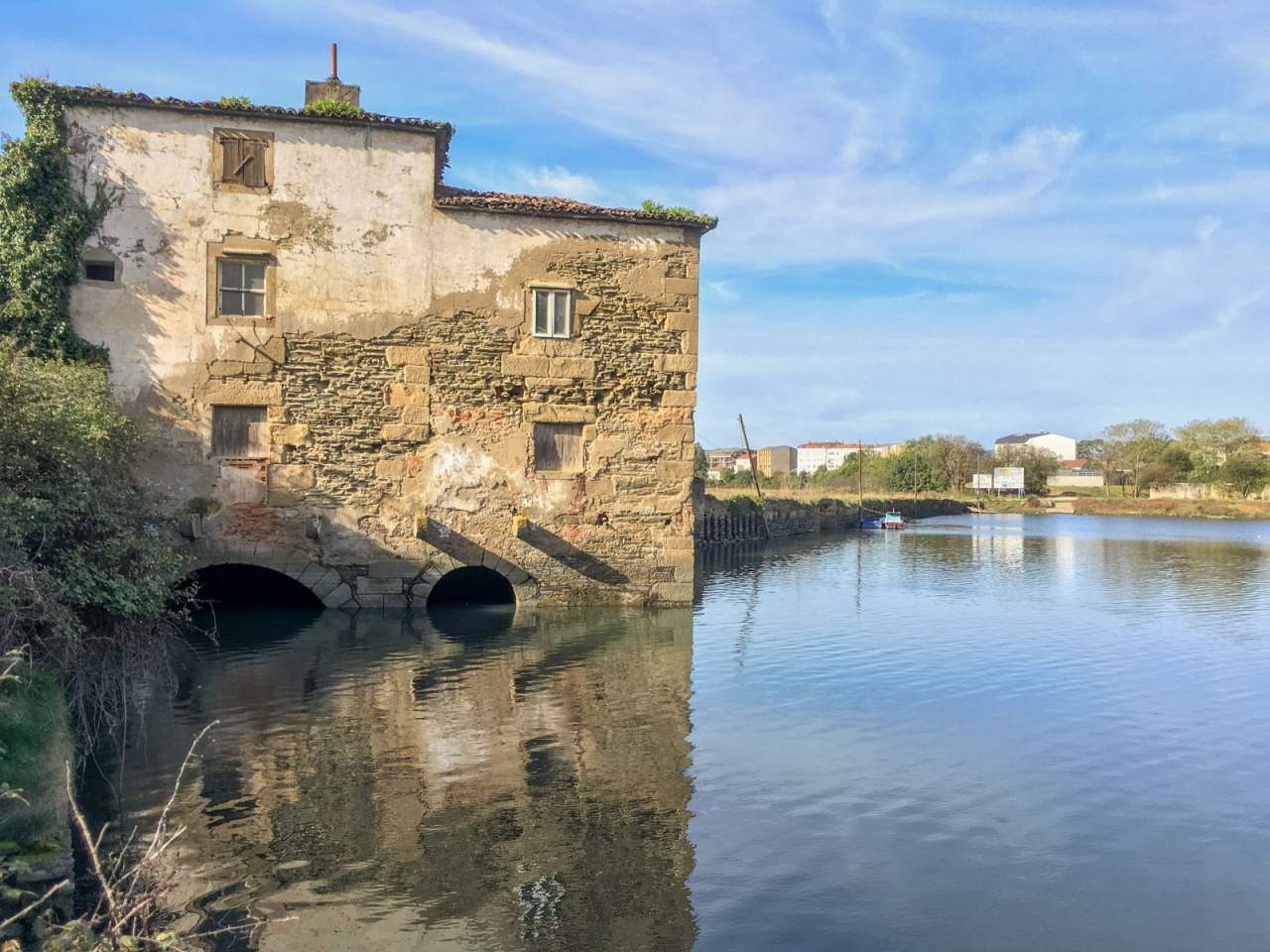
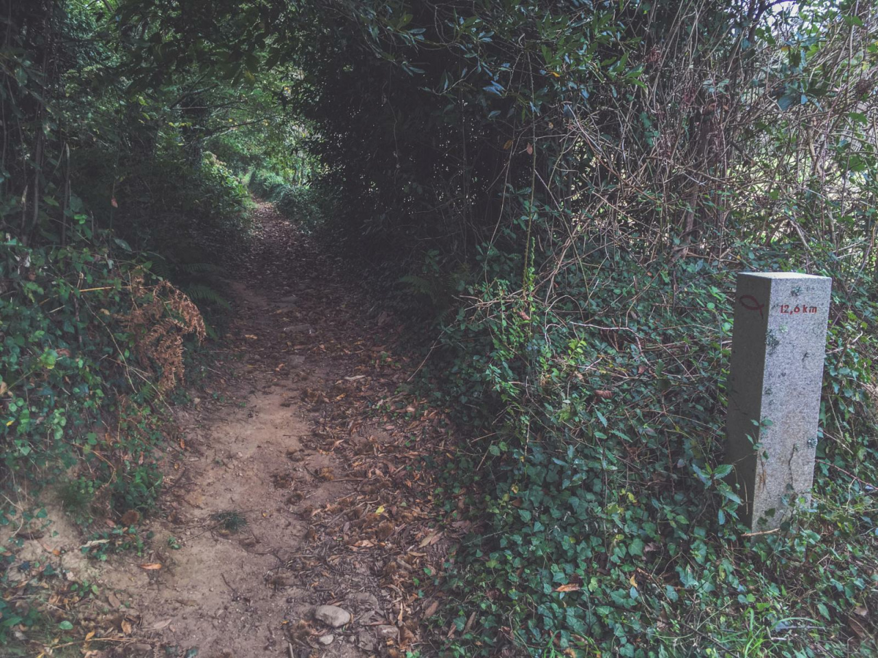
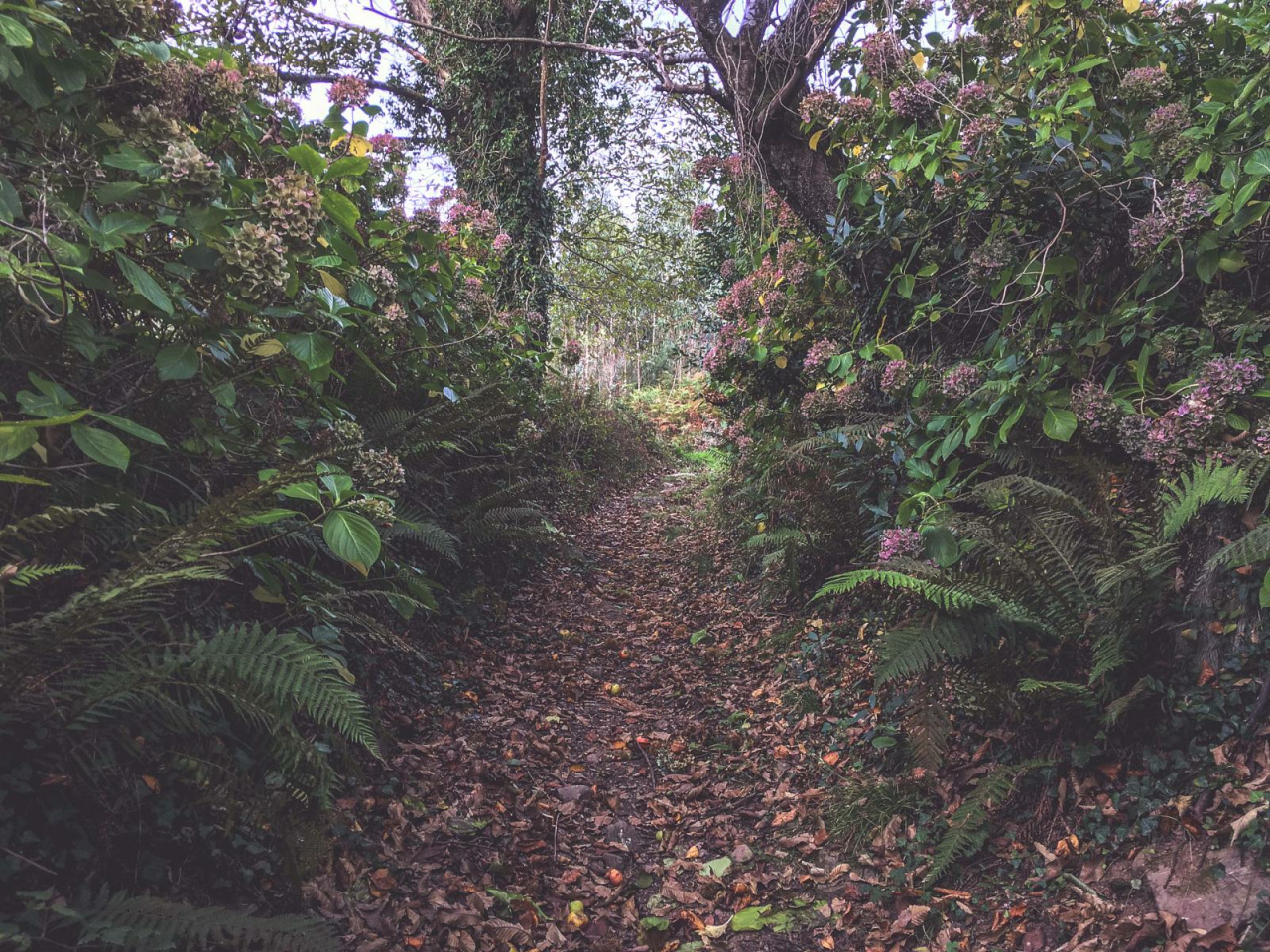
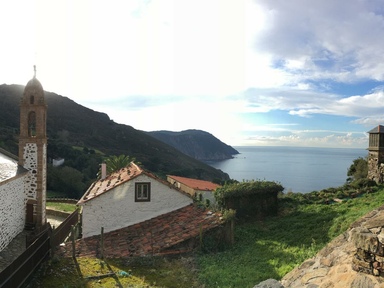
In 1755, Father Sarmiento, a writer and Benedictine monk, described this route from Xuvia (Narón), Valdoviño, and all the way to Santo André. Since then, thousands of pilgrims have retraced his steps to reach the Sanctuary of Santo André de Teixido, in the municipality of Cedeira. The Camiño Vello a Santo André begins at the Monastery of San Martiño de Xuvia, in Narón, and along its 40 km, it passes by places of interest such as the As Aceas mill, the Pazo de Libunca, Os Nenos mountain; the landmark of Portonovo de Valverde; and the medieval bridge of Porto do Cabo. Then, it crosses the Serra de A Capelada mountain range toward the Sanctuary of Santo André de Teixido. Once there, a good pilgrim must drink water from the fountain's three spouts and make a wish. To find out if the saint will grant it, simply throw a crumb of bread into the fountain. If it floats, the wish will be granted; if it sinks, the saint will not grant it.
16°CWed
21/10
15° /12°
70%
Thu
22/10
14° /14°
72%
Fri
23/10
13° /13°
72%