Cedeira Lands

Cedeira Lands

Route data

Distance
38.2 Km
Duration
7h
Circular route
Difficulty
Expert
Max. elevation
1131 m.
Max. elevation
1131 m.

Weather forecast

Cedeira

Weather Image 17°C
Real feel 17°
broken clouds
  • Wed
    21/10

    Weather Image

    15° /13°

    Humidity Image 69%

  • Thu
    22/10

    Weather Image

    15° /15°

    Humidity Image 72%

  • Fri
    23/10

    Weather Image

    14° /14°

    Humidity Image 71%

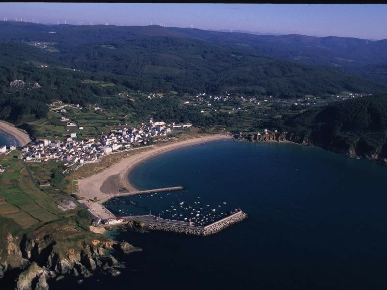
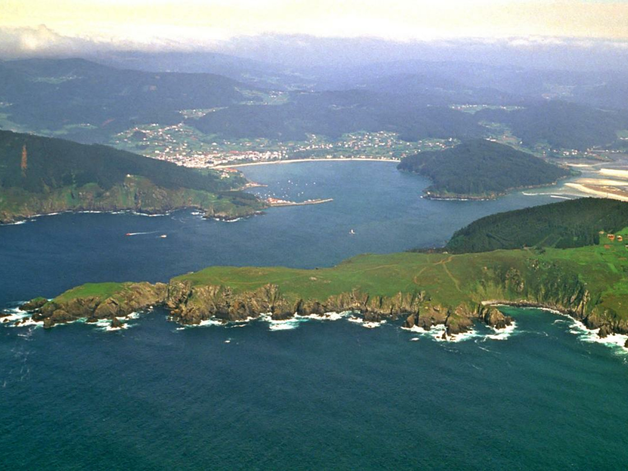
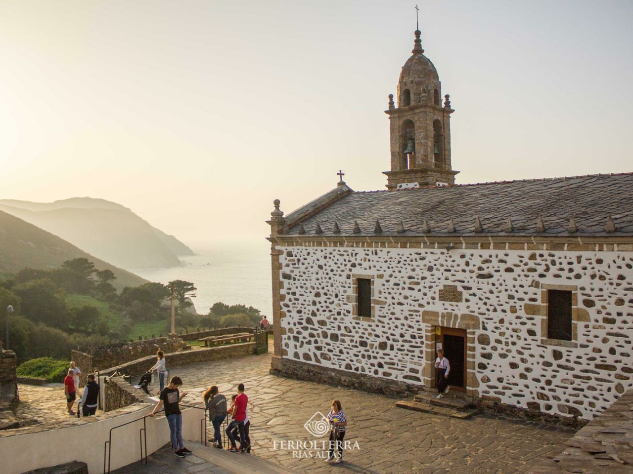
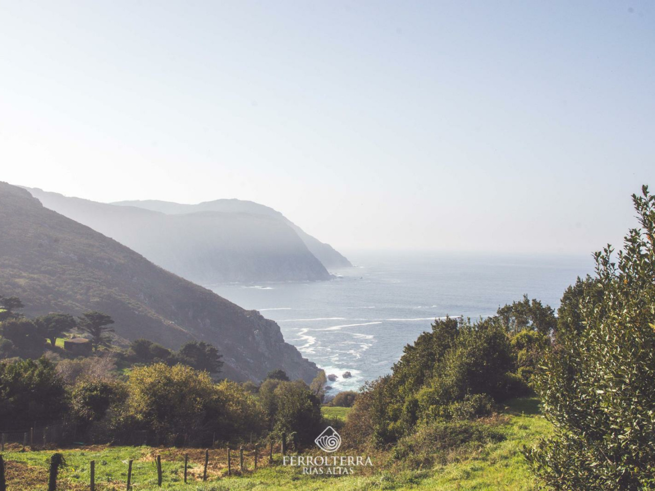
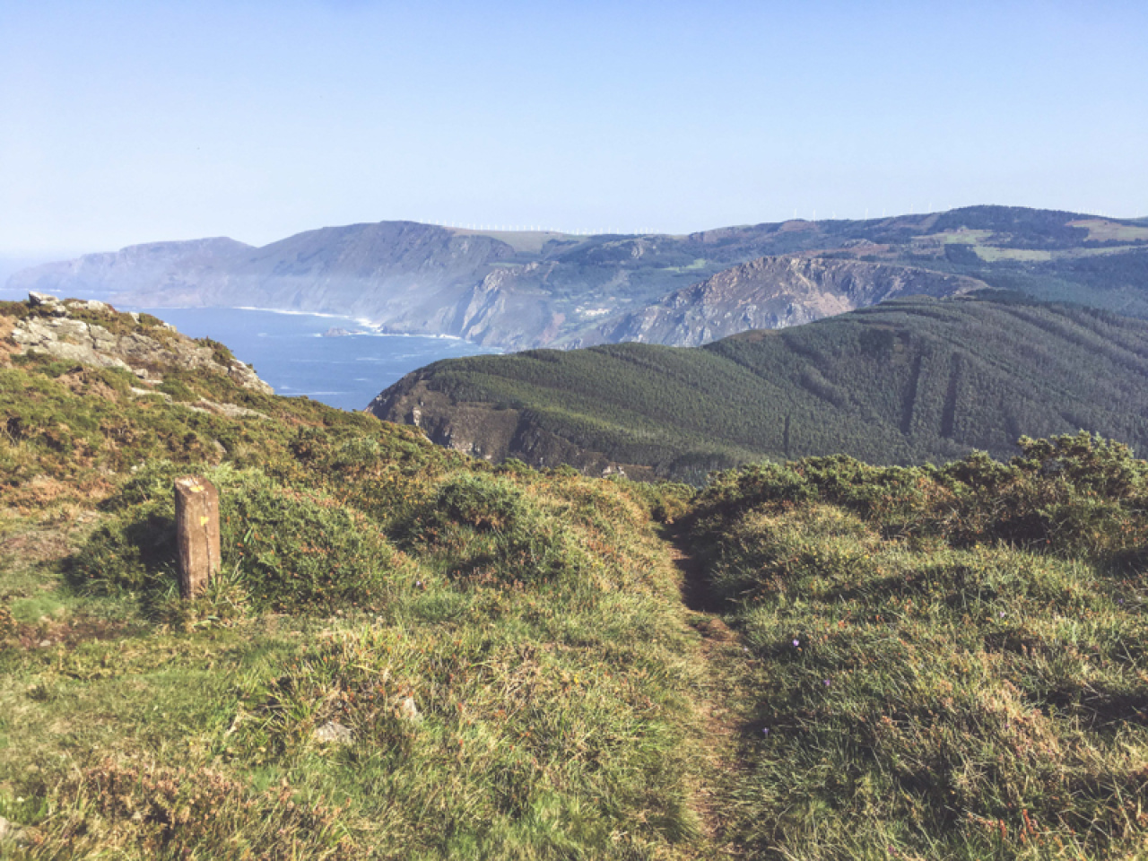
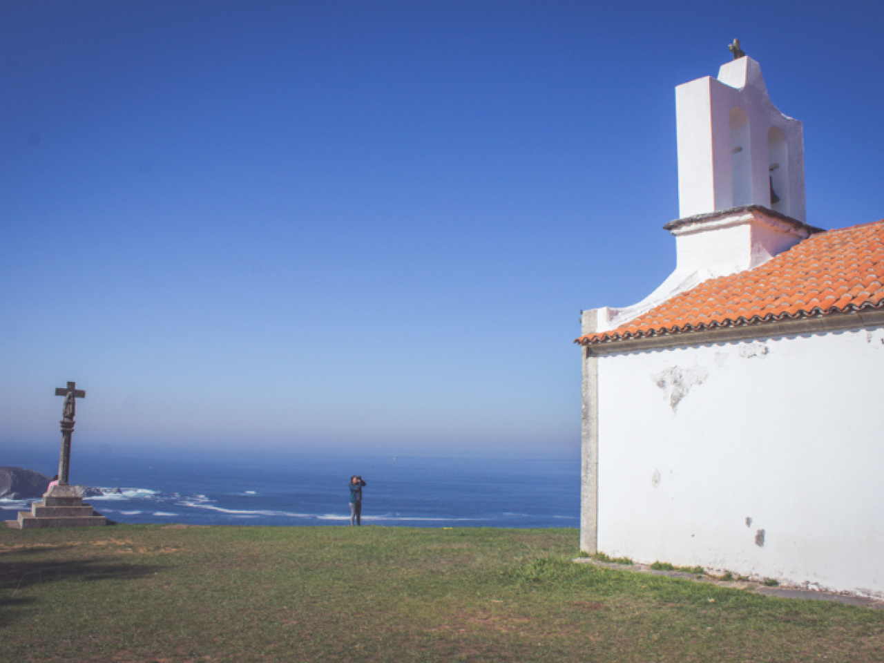
This scenic area features stunning geological routes, breathtaking coastal views at Punta Robaleira, and the majestic Serra da Capelada, perfect for tourists.

It runs through the municipality of Cedeira, coinciding with the geological route and reaching points such as Punta Robaleira and the Serra da Capelada.

Weather forecast

Cedeira

Weather Image 17°C
Real feel 17°C
broken clouds
  • Wed
    21/10

    Weather Image

    15° /13°

    Humidity Image 69%

  • Thu
    22/10

    Weather Image

    15° /15°

    Humidity Image 72%

  • Fri
    23/10

    Weather Image

    14° /14°

    Humidity Image 71%