Back

Distance
75.9 Km


 17°C
Wed
21/10

17° /13°
 68%
Thu
22/10

16° /15°
68%
Fri
23/10
16° /13°
67%
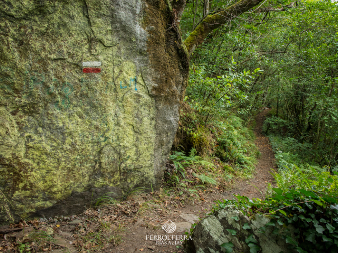
This scenic 100km footpath offers rich heritage, stunning landscapes, and ancient monasteries, making it a unique pilgrimage for tourists.
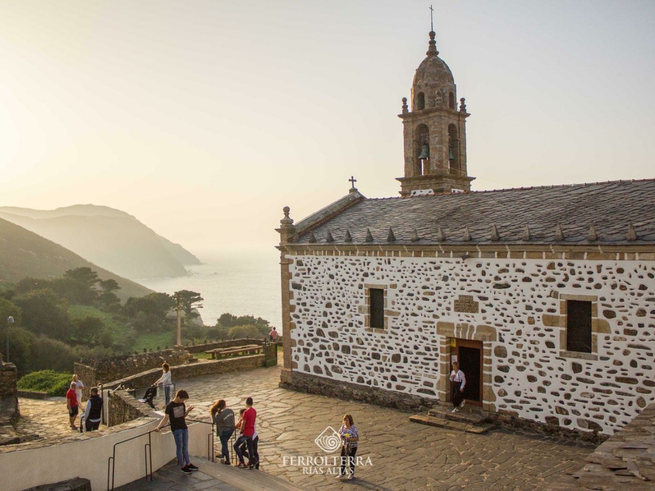
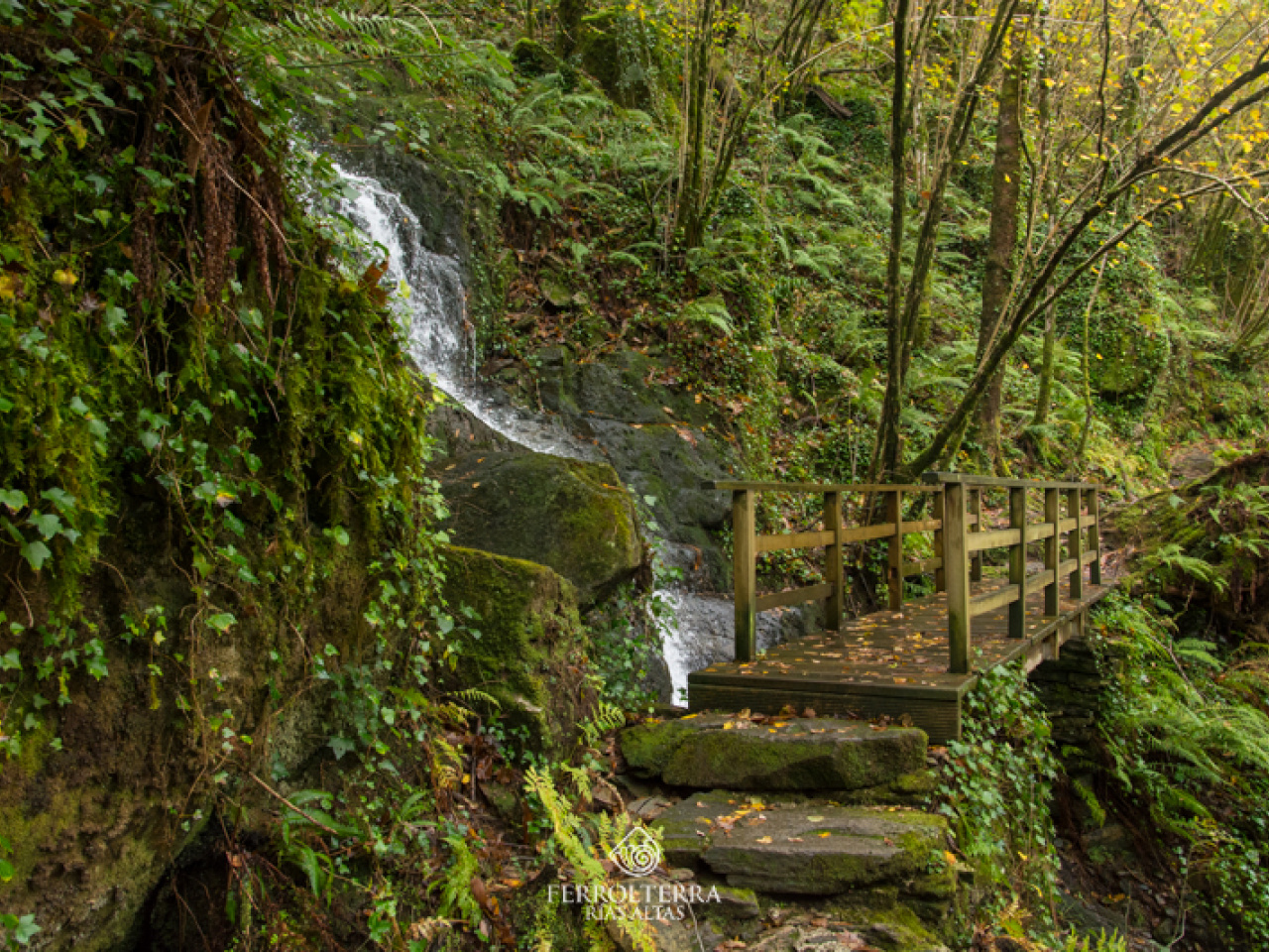
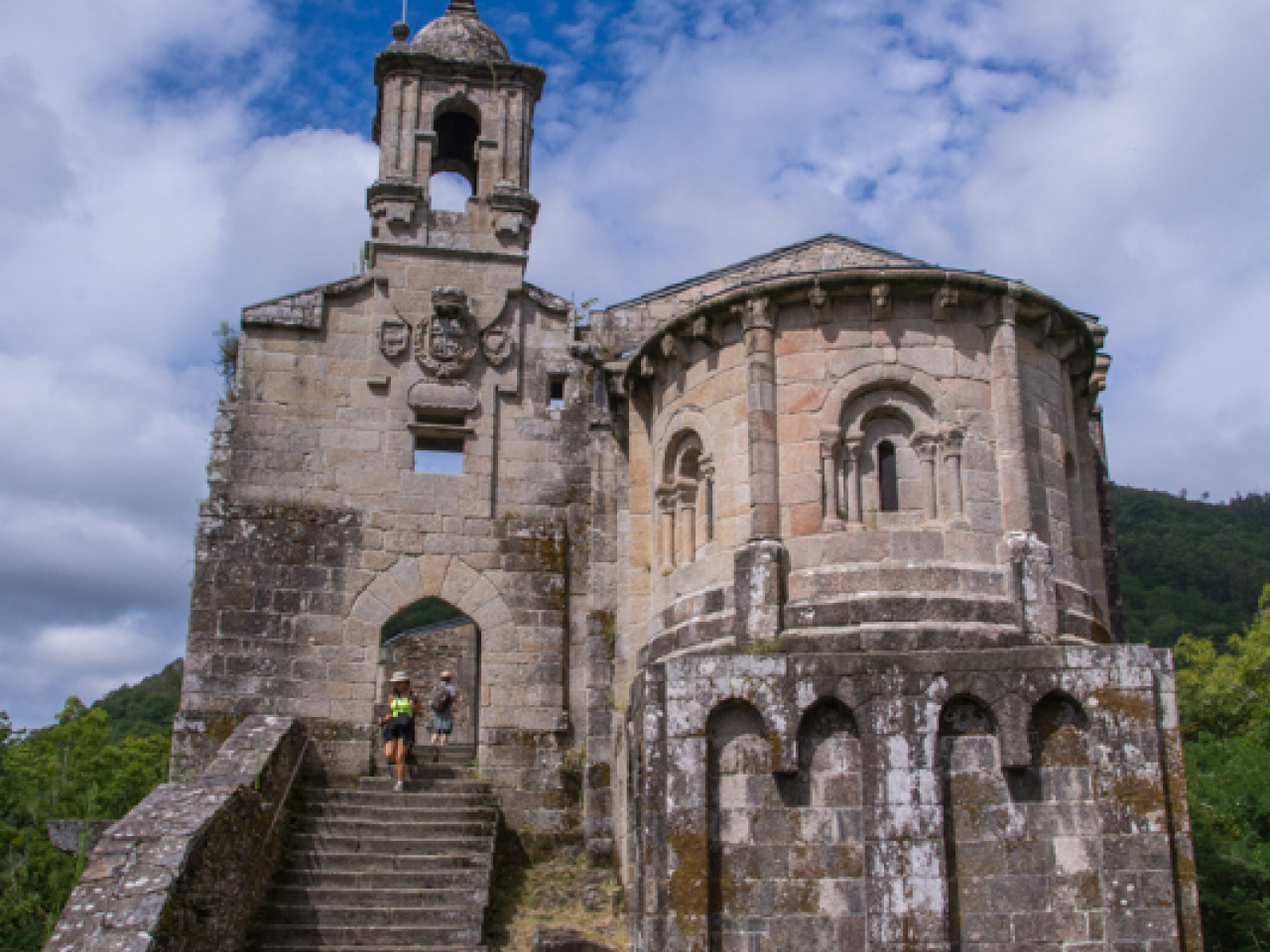
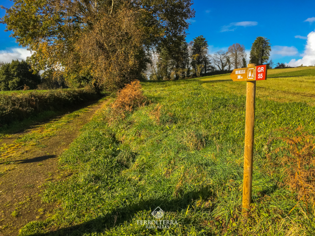
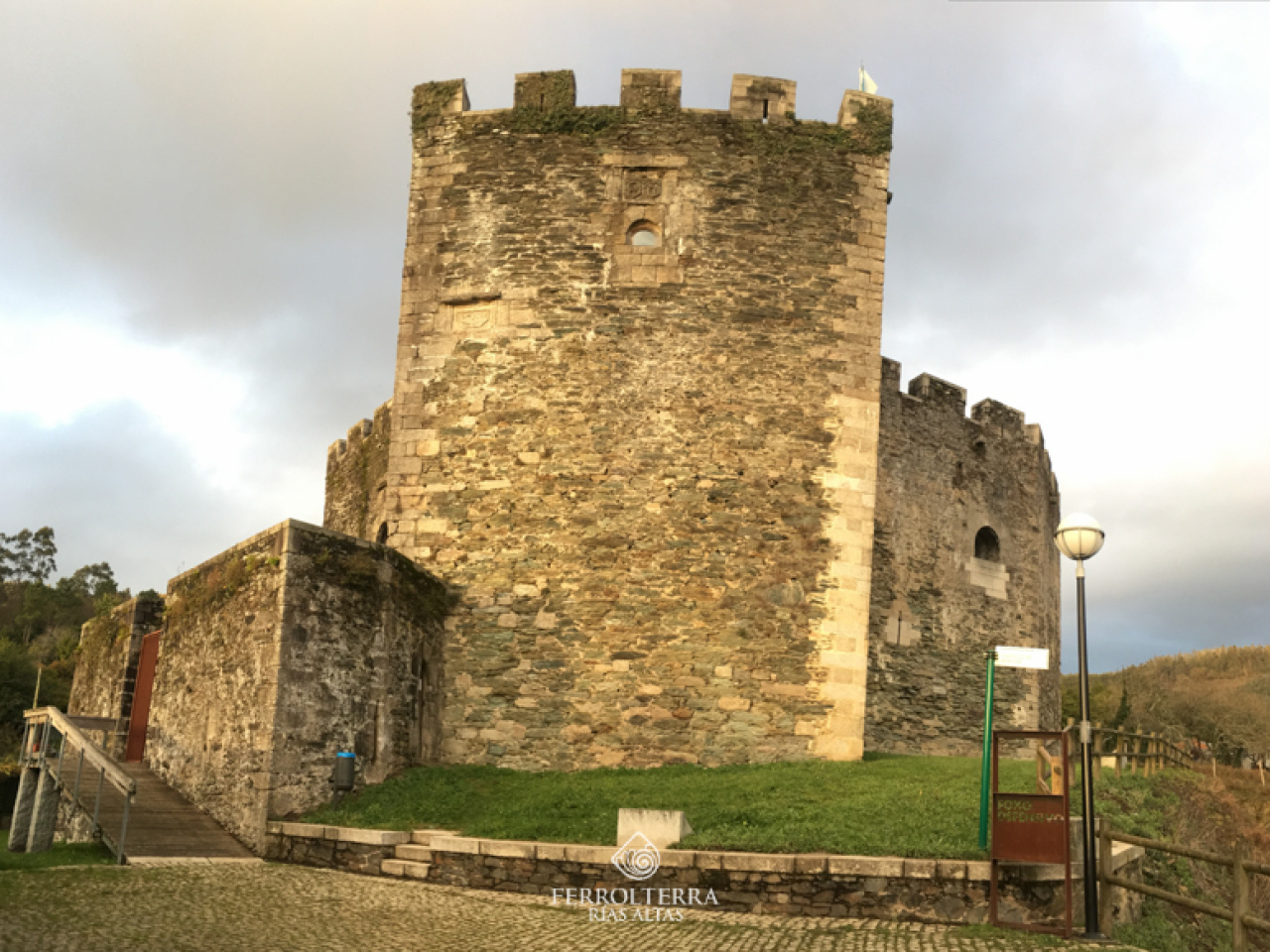
The GR 55 is a long-distance trail that leads to Santo André de Teixido, covering nearly 100 km through the interior of the province of A Coruña, from Betanzos to the sanctuary. We will begin our itinerary on the second section of this route, which starts in Monfero and continues with the following stages: Monfero-A Capela (18.67 km); A Capela-San Sadurniño (20.55 km); San Sadurniño-Cerdido (21.54 km); Cerdido-Santo André de Teixido (15.24 km). These stages will allow us to discover places of scenic interest, such as the Castro River and the Belelle River. and also of great heritage value, such as the Monfero Monastery and the Caaveiro Monastery in Fragas do Eume, the remains of the ancient medieval castle of Naraío, a testament to the Irmandiña Revolt, or the Moeche Castle, belonging to the Andrade nobility. The cult of the sanctuary of Santo André dates back far, even before that of the Camino de Santiago.
17°CWed
21/10
17° /13°
68%
Thu
22/10
16° /15°
68%
Fri
23/10
16° /13°
67%