Road to Teixido

Road to Teixido

Route data

Distance
50.9 Km
Duration
8h 15min
Lineal route
Difficulty
Medium
Max. elevation
1195 m.
Max. elevation
1069 m.

Weather forecast

Valdoviño

Weather Image 16°C
Real feel 16°
overcast clouds
  • Wed
    21/10

    Weather Image

    15° /12°

    Humidity Image 69%

  • Thu
    22/10

    Weather Image

    14° /14°

    Humidity Image 72%

  • Fri
    23/10

    Weather Image

    14° /13°

    Humidity Image 69%

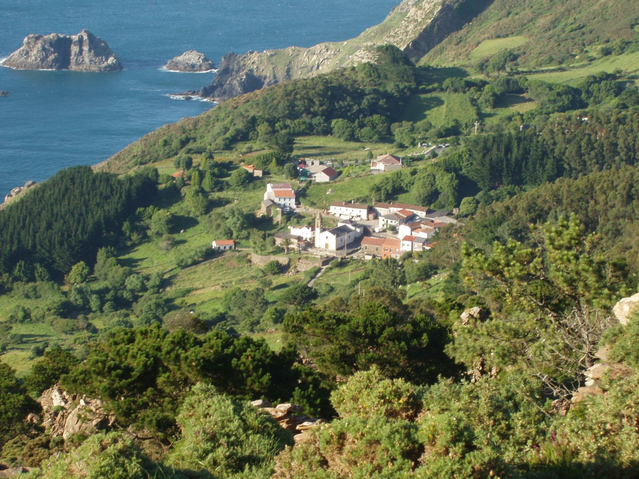
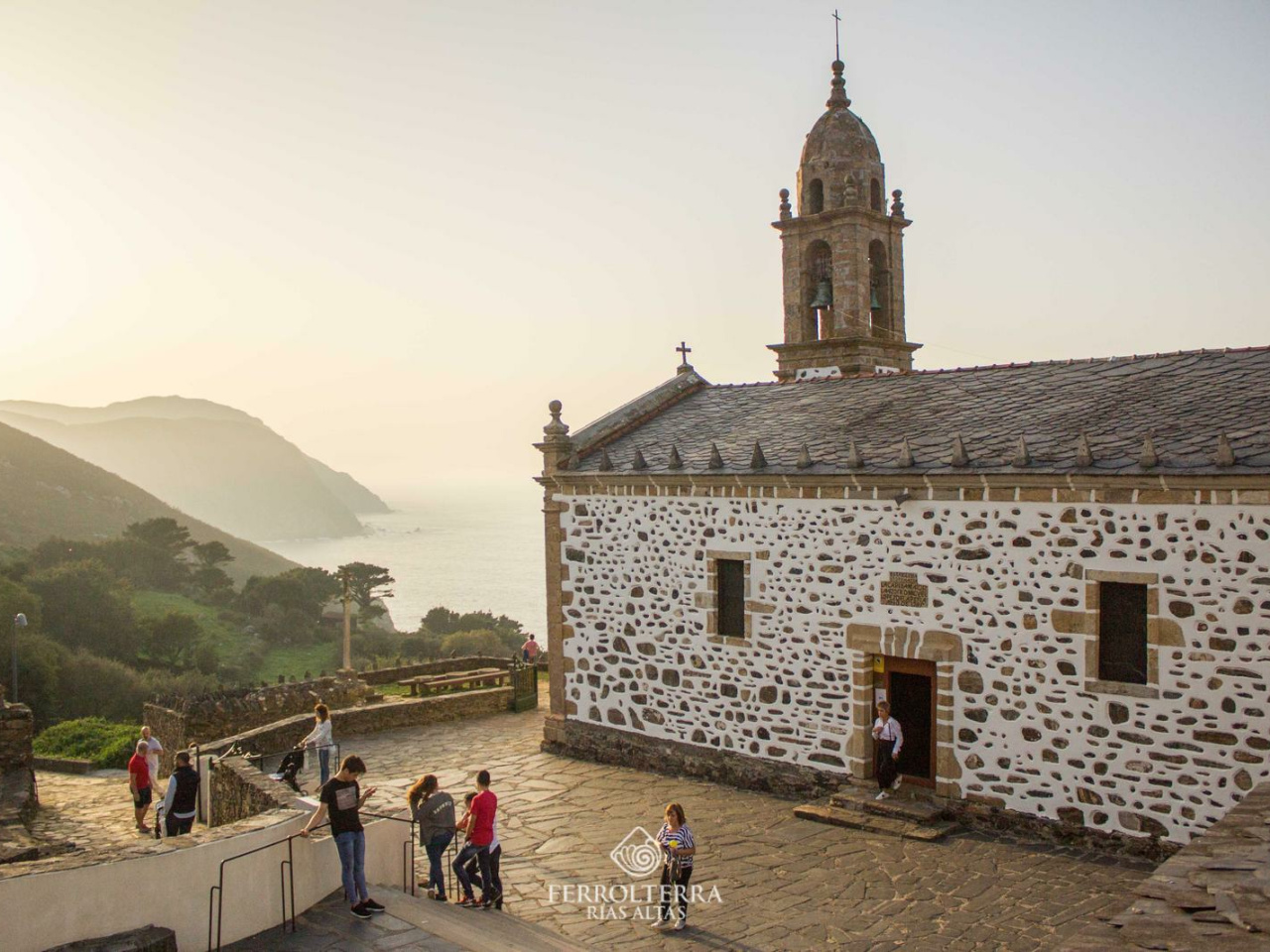
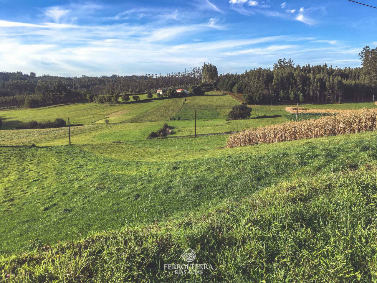
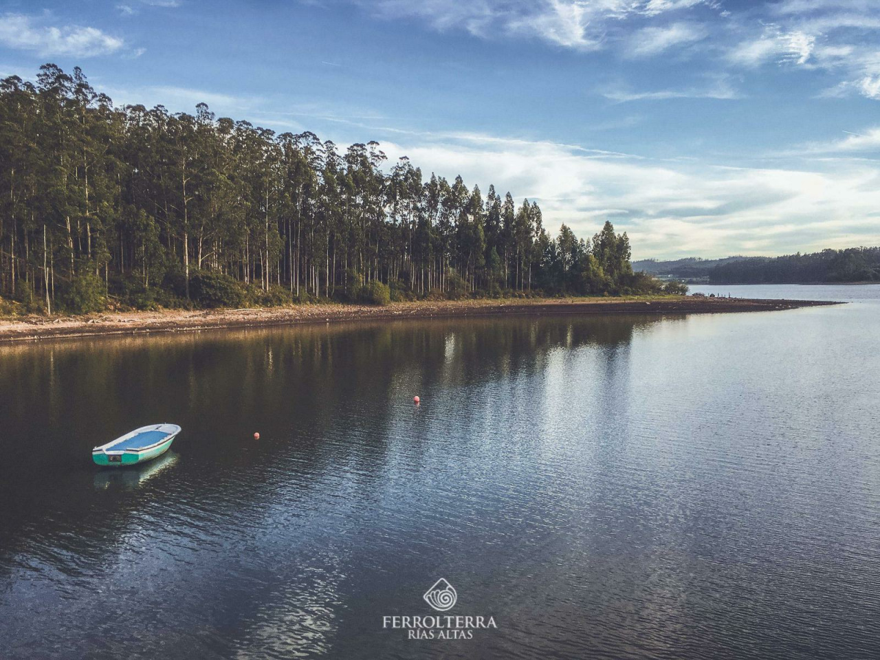
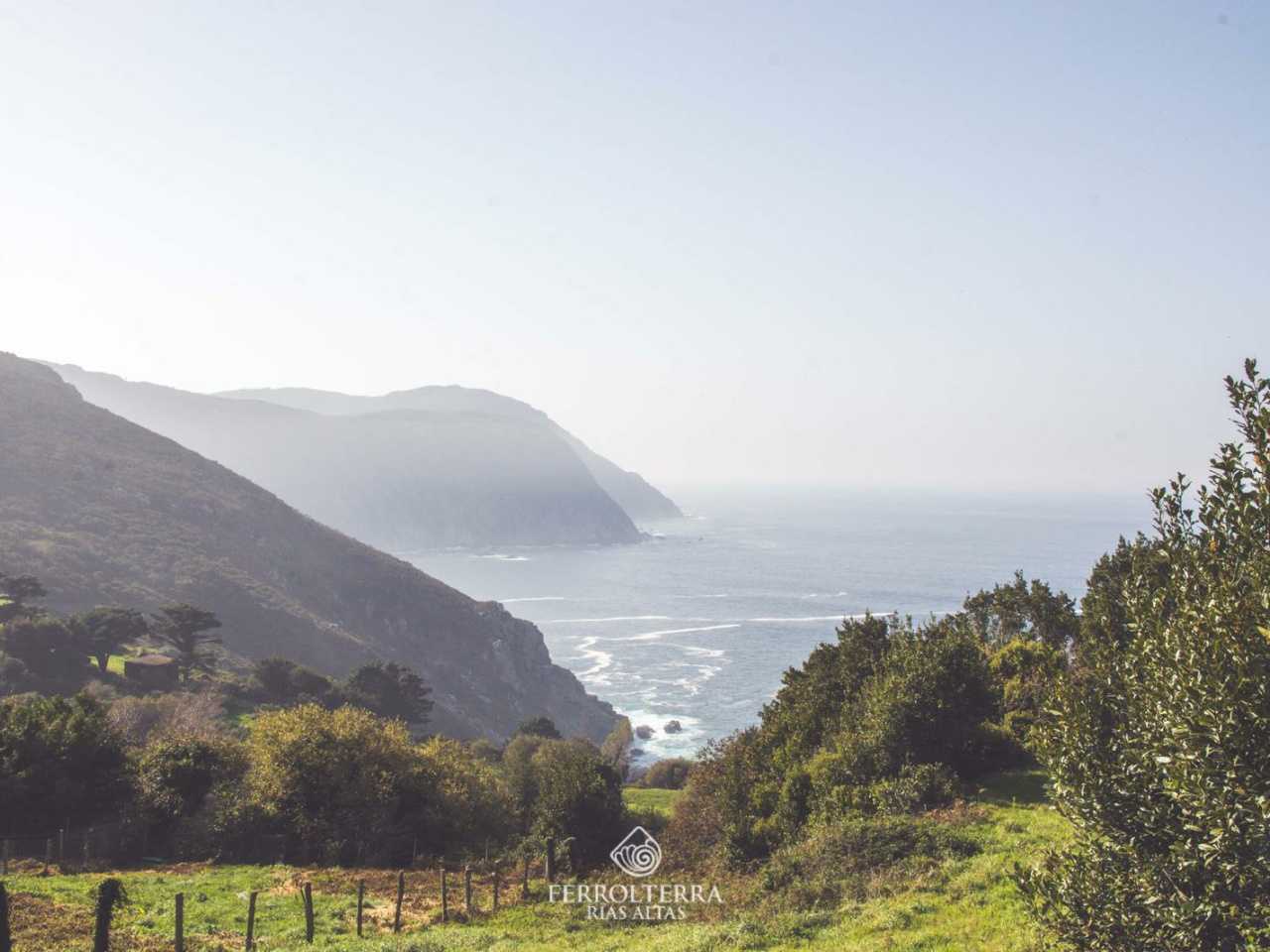
This scenic route leads to a historic sanctuary, offering breathtaking views of Europe's highest cliffs, perfect for adventurous tourists.

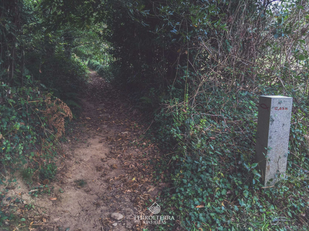
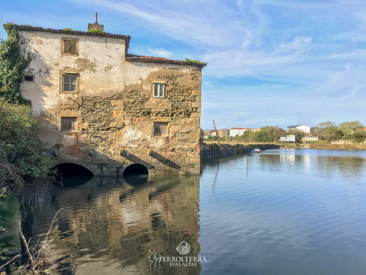
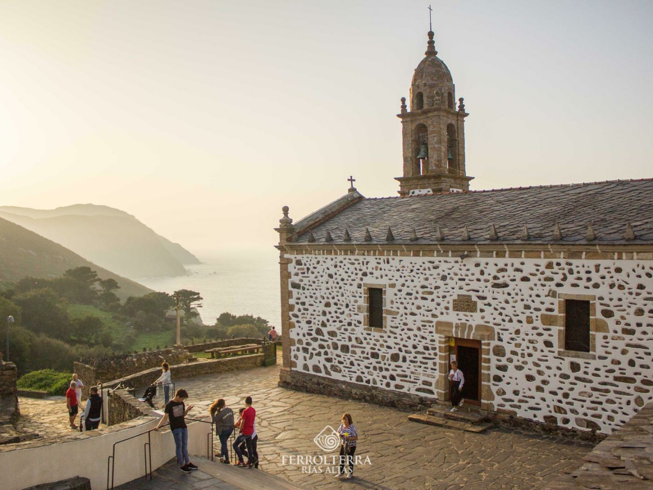
The Teixido Trail, with detours from Ferrol or Cobas, heads north to the Sanctuary of San Andrés de Teixido. This route, steeped in history, offers the best views of the highest cliffs in continental Europe.

Weather forecast

Valdoviño

Weather Image 16°C
Real feel 16°C
overcast clouds
  • Wed
    21/10

    Weather Image

    15° /12°

    Humidity Image 69%

  • Thu
    22/10

    Weather Image

    14° /14°

    Humidity Image 72%

  • Fri
    23/10

    Weather Image

    14° /13°

    Humidity Image 69%