Back

Distance
14.1 Km


 13°C
Wed
21/10

17° /14°
 69%
Thu
22/10

16° /16°
71%
Fri
23/10
16° /14°
67%
Explore a scenic route featuring historic mills, charming bridges, and beautiful landscapes, perfect for nature lovers and history enthusiasts alike.
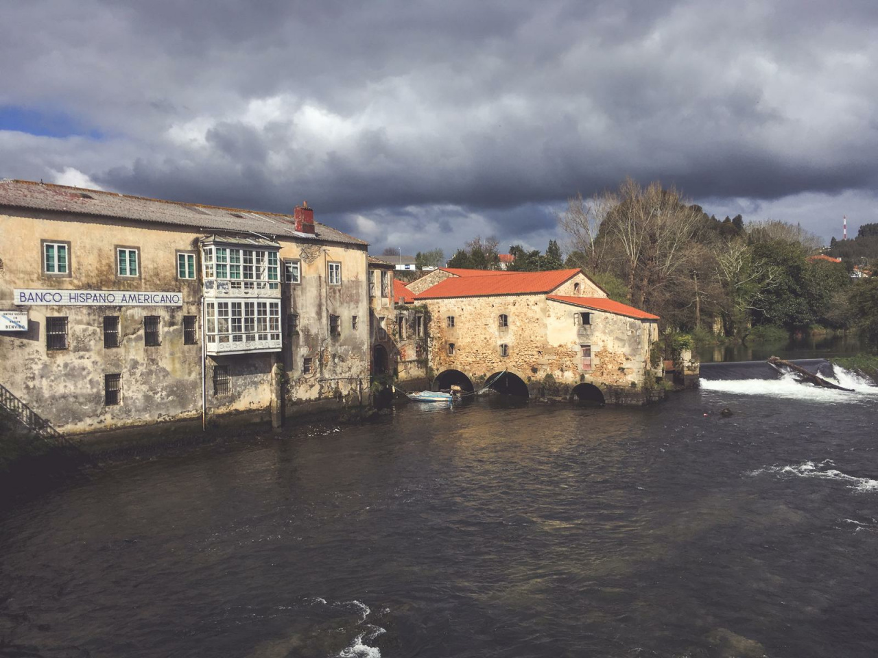
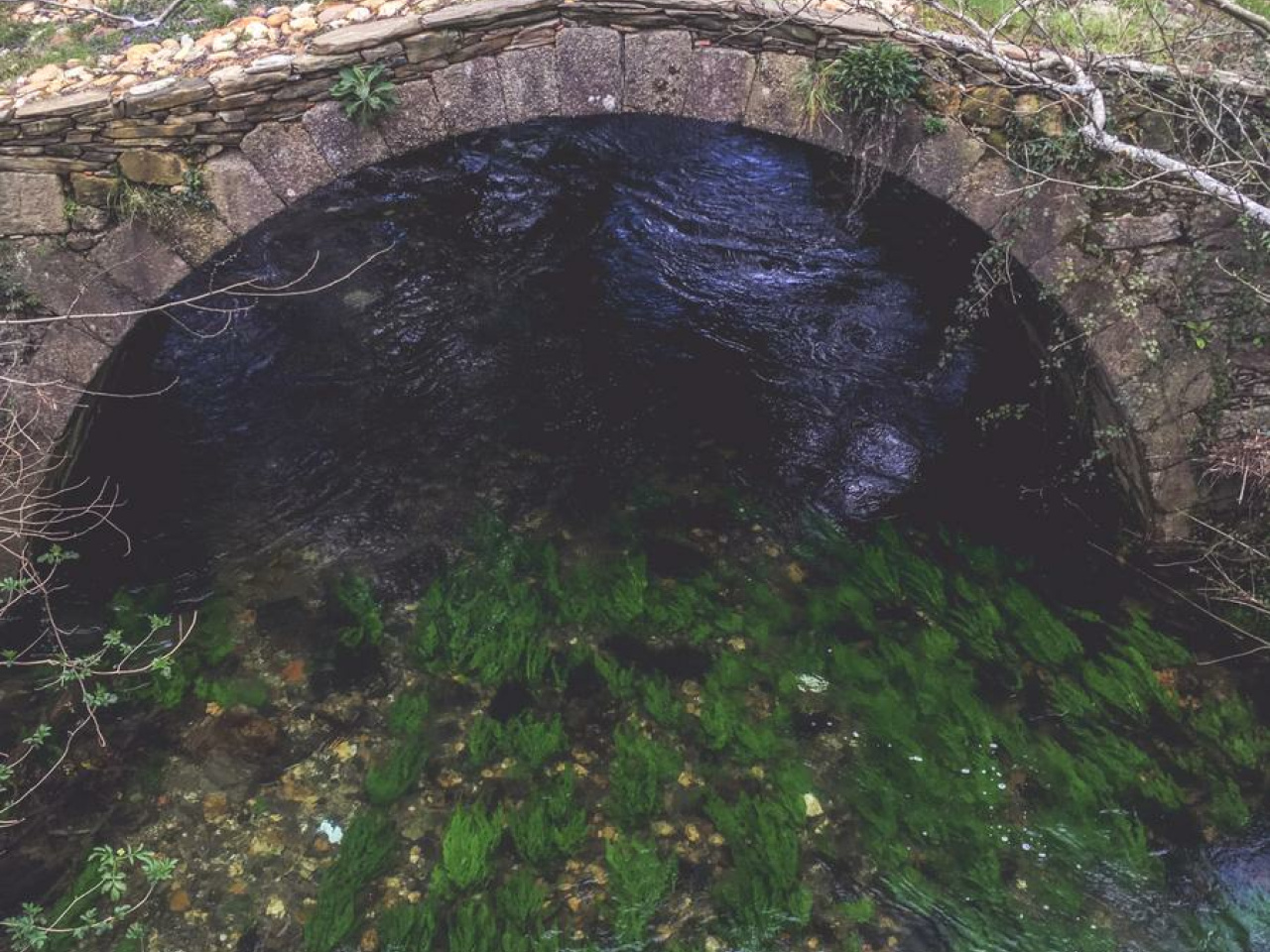
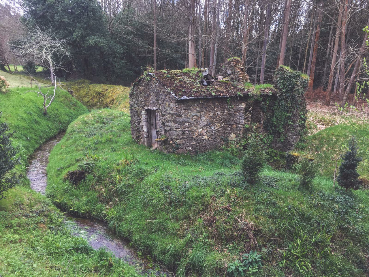
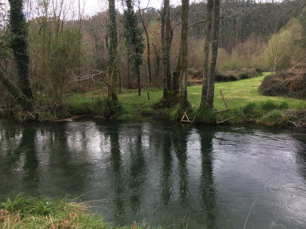
This route allows you to discover different places of interest in the Municipality of Narón, in a route that mixes resources of great historical and cultural importance with landscapes that allow you to enjoy nature in an environment of singular beauty. You will border the estuary and the Xuvia river and enter the legendary parish of Doso next to historic mills, dams, bridges and old churches. You will discover the vestiges of the important industrial network that was based on the activity of the vast network of mills that took advantage of all the energy resources of the territory, and which resulted in the start-up of tanneries, paper and coin factories, representing a true industrial revolution for the region.
13°CWed
21/10
17° /14°
69%
Thu
22/10
16° /16°
71%
Fri
23/10
16° /14°
67%