Back

Distance
15 Km


 17°C
Wed
21/10

14° /12°
 70%
Thu
22/10

13° /14°
75%
Fri
23/10
13° /13°
70%
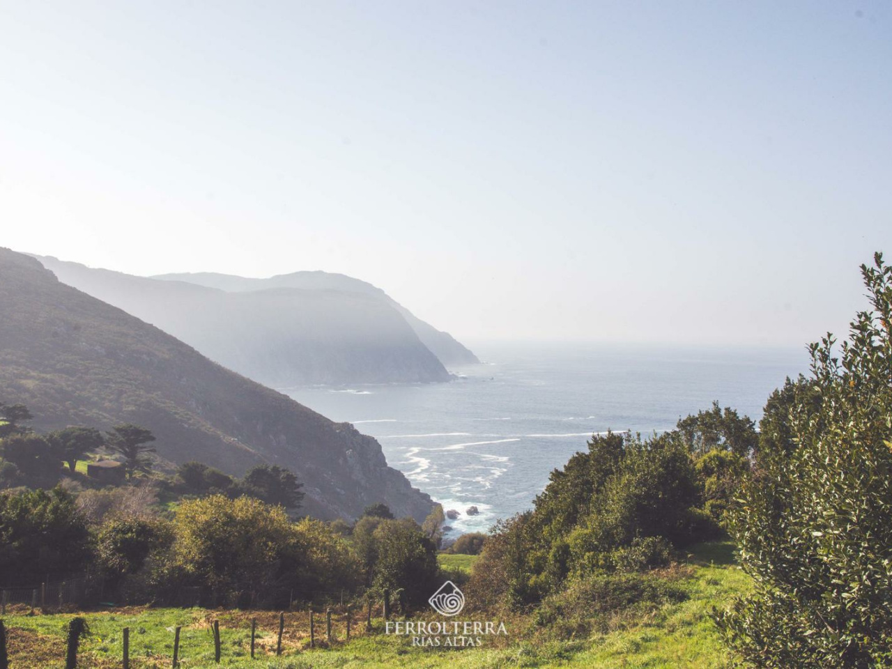
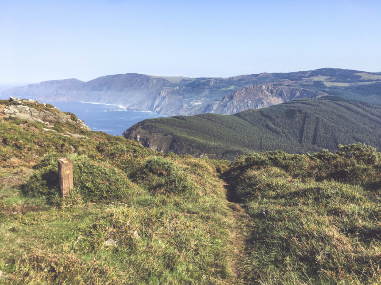
Experience breathtaking landscapes, high cliffs, and rich heritage along this scenic route, featuring historic sites and stunning Atlantic viewpoints.
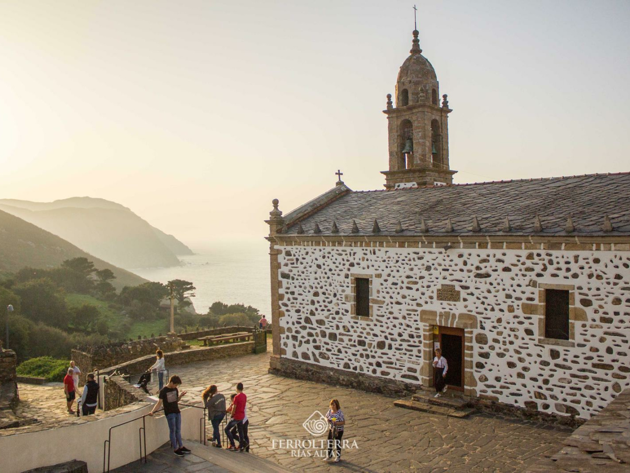
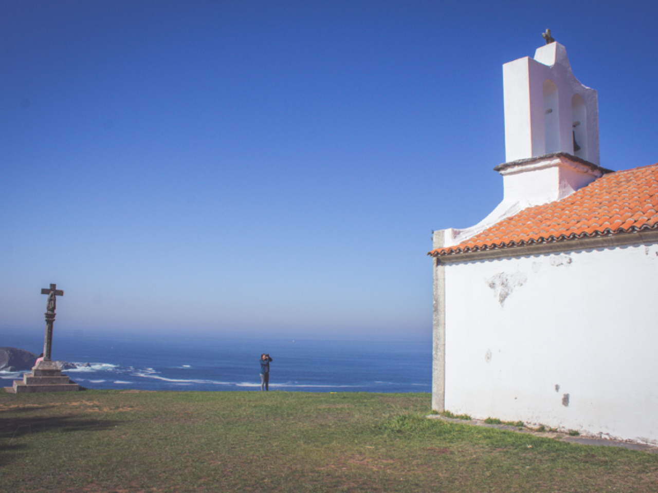
The Peiraos Route boasts some of the most spectacular scenery on the Costa Ártabra, passing through territory protected by the Natura Network and entering the Serra da Capelada, a place that boasts the distinction of housing the highest cliffs in continental Europe. Starting from the Castelo da Concepción in Cedeira, we'll head north, encountering sites of special heritage and scenic beauty along the way, such as the 17th-century Hermitage of San Antón de Corveiro, or old sentry boxes like the Garita de Eixil, or the Garita de Vilar, of which little more than ruins remain. Along the way, we'll also visit various viewpoints overlooking the Atlantic: Mirador de Boca de Tarroiba, or Mirador de Cortes, before descending to the sanctuary of Santo André de Teixido—you know, better alive!
17°CWed
21/10
14° /12°
70%
Thu
22/10
13° /14°
75%
Fri
23/10
13° /13°
70%