Back

Distance
20.1 Km


 17°C
Wed
21/10

16° /12°
 70%
Thu
22/10
15° /16°
76%
Fri
23/10

15° /15°
70%
This coastal route features stunning views, four surf-friendly beaches, and three scenic viewpoints, perfect for hiking or biking enthusiasts.
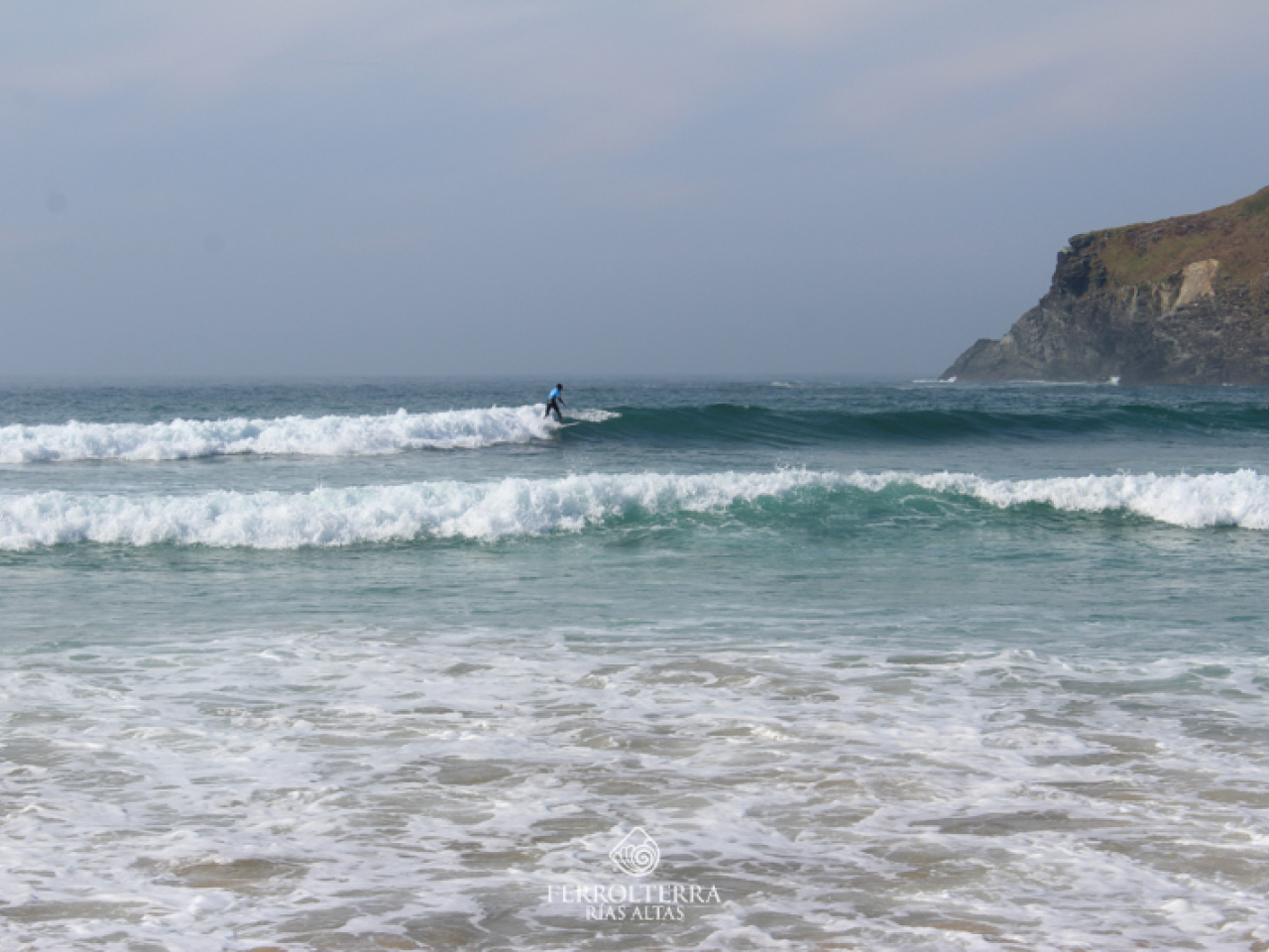
This signposted route, which runs entirely along the coast, allows you to discover four beaches in the municipality of Valdoviño which, in addition to their great environmental and scenic wealth, stand out for their quality for surfing: Vilarrube, Baleo, Pantín and A Frouxeira. The route also offers a landscape made up of some of the most spectacular stretches of the Galician coast, which can be appreciated in all their splendour from the three viewpoints along the route: San Xiao, Punta Oural and O Paraño, the latter selected as one of the 50 essential viewpoints in Galicia. THINGS TO KEEP IN MIND / RECOMMENDATIONS This is a long route that can be done on foot or by mountain bike. 10% of the route is on dirt trails, 40% on dirt tracks and 50% on asphalt tracks. The distance and elevation changes make this a medium-level route.
17°CWed
21/10
16° /12°
70%
Thu
22/10
15° /16°
76%
Fri
23/10
15° /15°
70%