Back

Distance
10 Km


 14°C
Wed
21/10

17° /13°
 72%
Thu
22/10

16° /16°
71%
Fri
23/10
16° /14°
68%
Explore a charming fishing village with stunning estuary views, an ancient settlement, and a scenic route perfect for walking or biking.
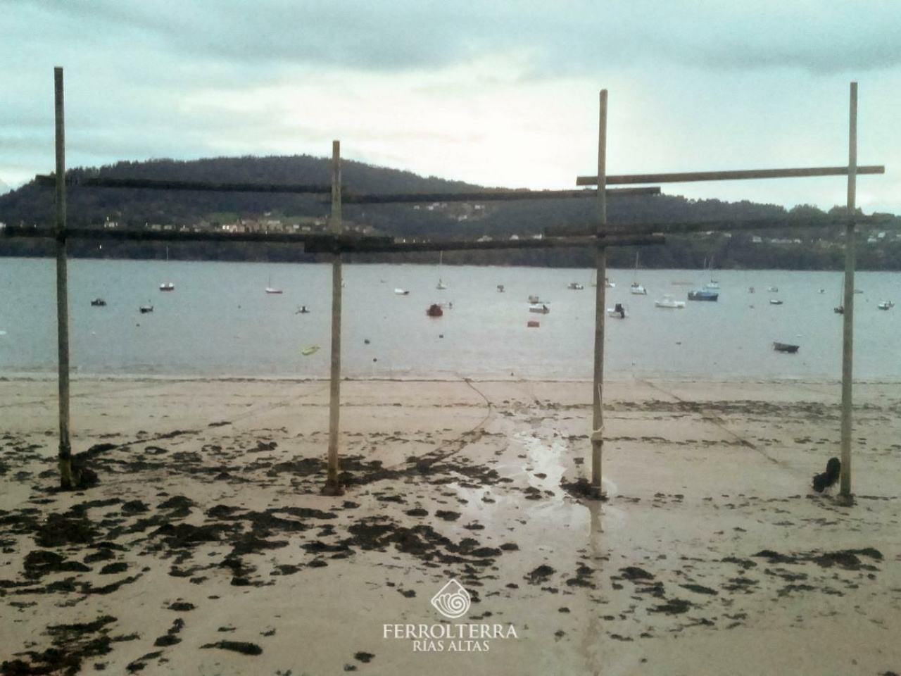
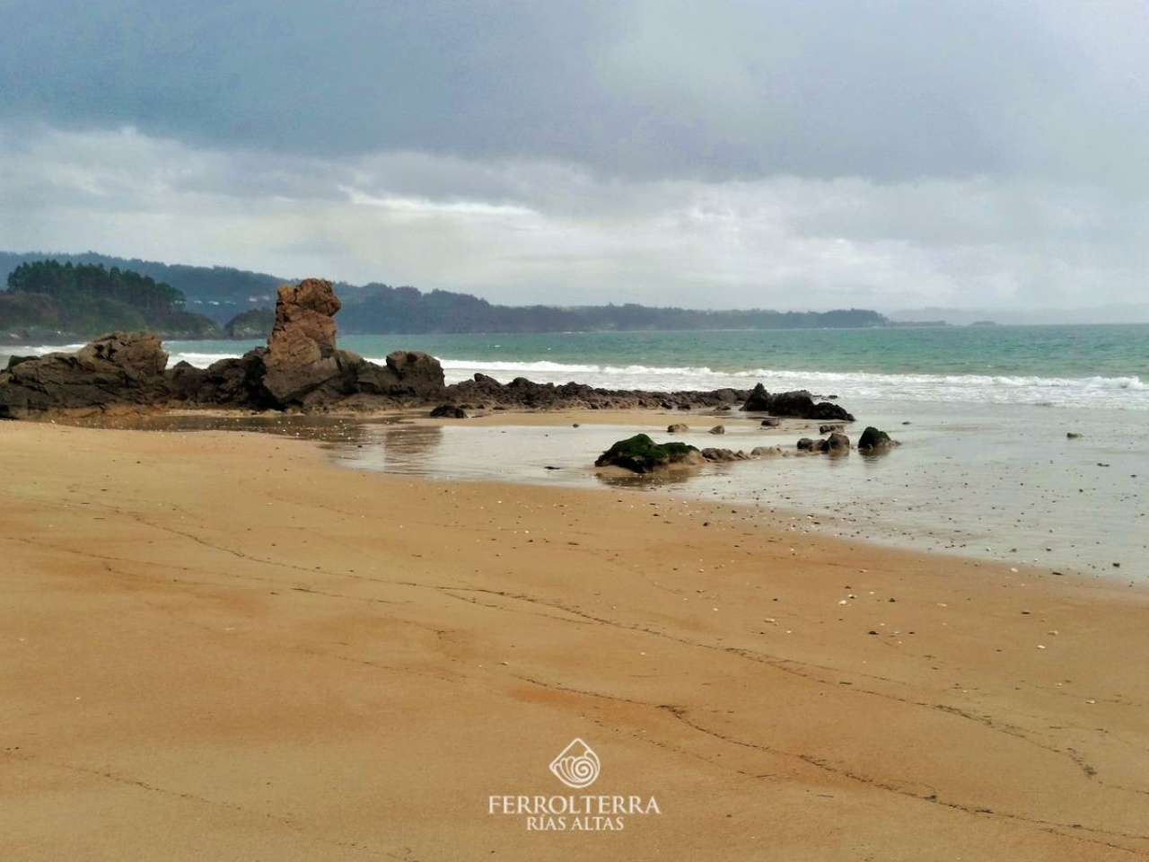
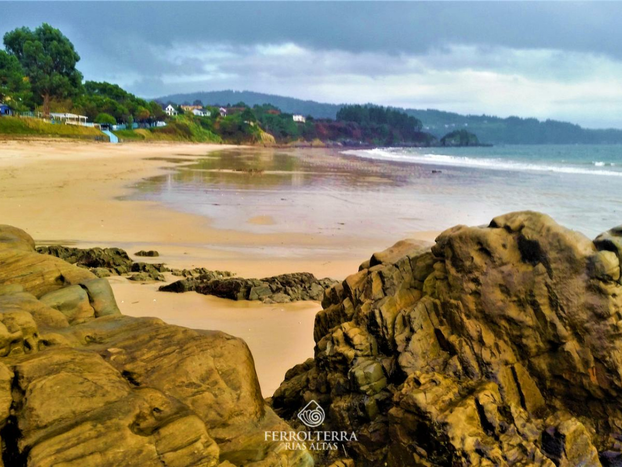
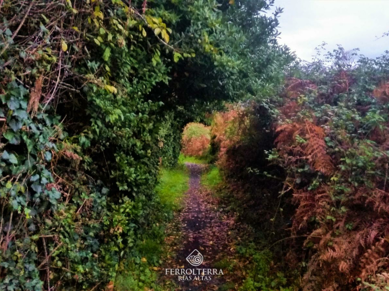
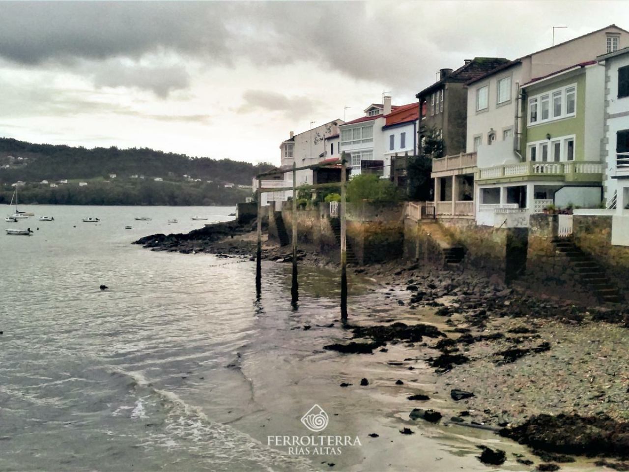
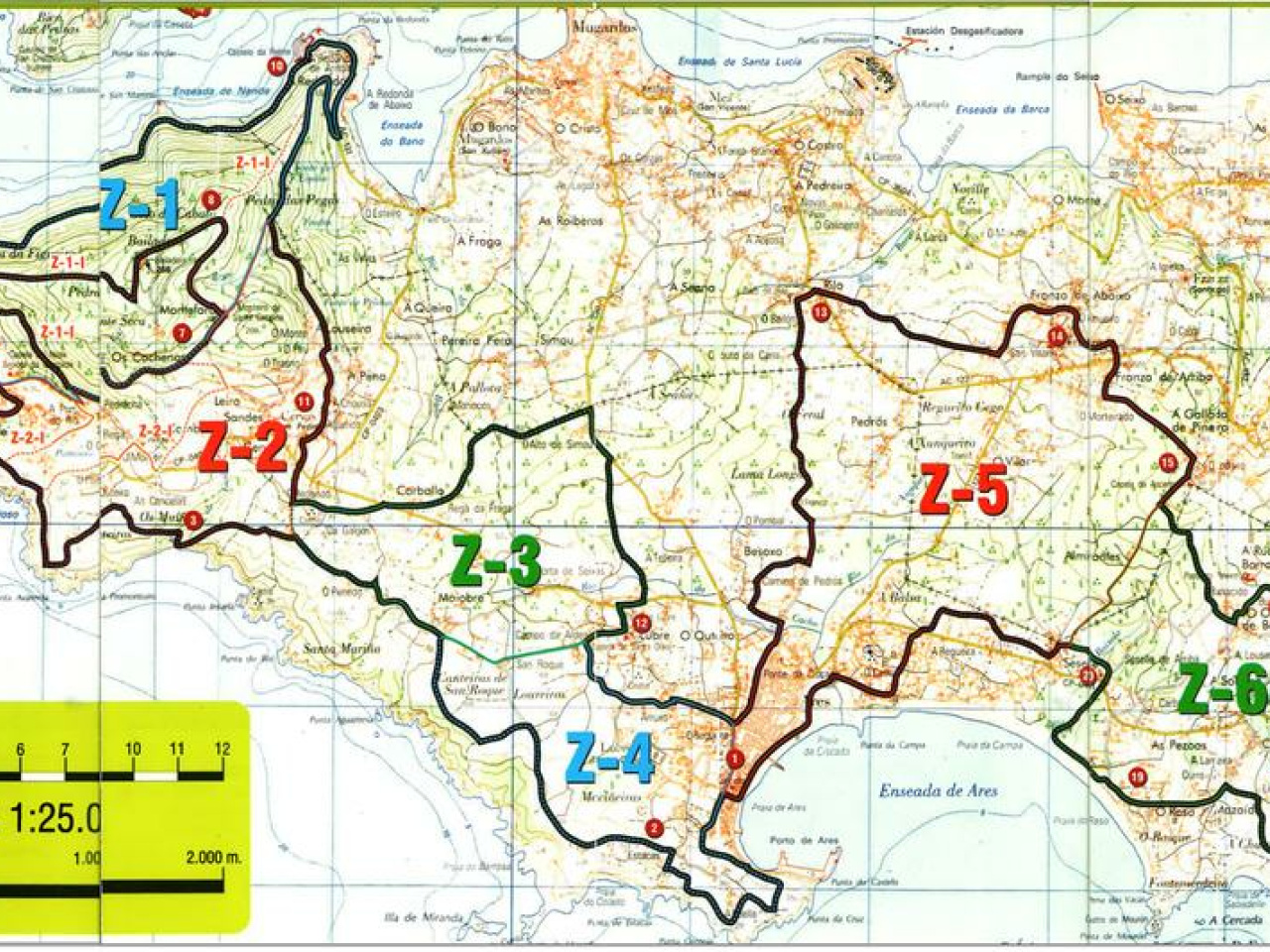
he route starts from Seselle beach, recording its soft sand and contemplating the Ares estuary, a measure that advances towards the small fishing village of Redes, but not before passing through the area where it is located an old Iron Age settlement Punta Mourón, which is what the old town is called, and is located on a small peninsula and although it is not excavated, it is worth going to it and enjoying the beautiful views of the estuary. With a population of around 200 inhabitants, it is a 100% fishing village, where the houses are a few meters from the sea, a means of sustenance par excellence for its inhabitants. Near the small port, on the beach of Area Morta, the wooden structures that were formerly used to hang fishing nets still remain. It is a route that can be done both on foot and by mountain bike and that runs 60% on asphalt and 40% on dirt trails. It is a simple route, without great unevenness and with a total length suitable for all levels.
14°CWed
21/10
17° /13°
72%
Thu
22/10
16° /16°
71%
Fri
23/10
16° /14°
68%