Back

Distance
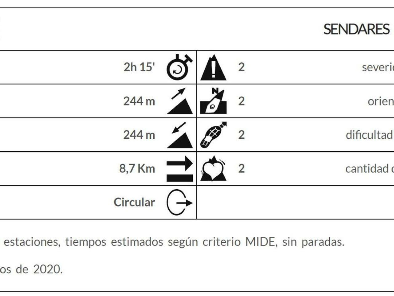
8.7 Km


 14°C
Wed
21/10

16° /13°
 75%
Thu
22/10

15° /15°
74%
Fri
23/10
15° /14°
71%
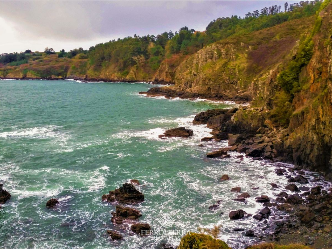
Explore a historic Romanesque church, scenic dirt trails, and coastal views, including a beach, fort, and intriguing cliff tunnel. Perfect for hiking or biking!
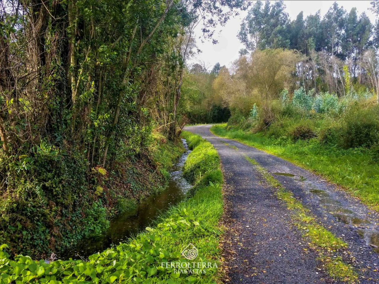
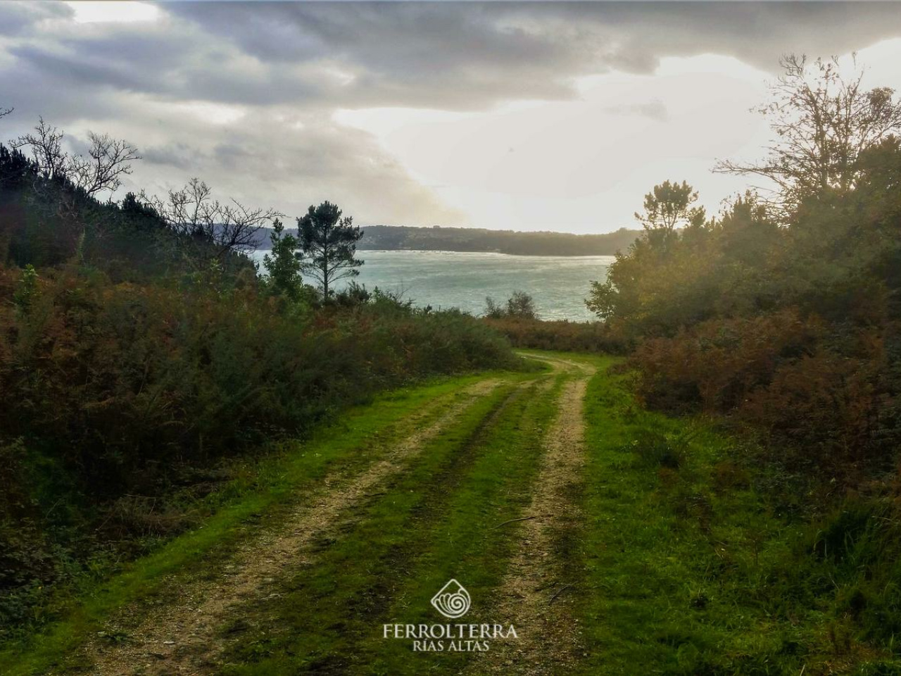
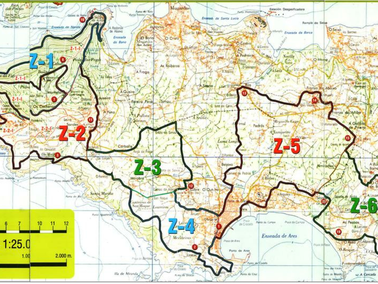
This tour begins in the church of Santa Olaia de Lubre, in the parish of Ares. Considered as Romanesque from the late fourteenth or early fifteenth century, although there are writings from the twelfth century where it appears named. It underwent several reforms throughout its history. It is a single-nave building, with wide buttresses and a bell tower. Inside there are several tombstones and a stone altar. The route runs 70% on dirt trails and 30% on asphalt, with a positive unevenness of 340m, without steep slopes. A good part of the coastal area where we will have to take into account the wind, especially in winter. It can be done both on foot and by mountain bike. As areas of greatest interest we highlight Punta de Santa Mariña, with its beach and its fort, where we can appreciate the moat area and the walls. At its top we will find remains of an old coastal military battery. Nearby is the Cova dos Mouros, a tunnel excavated in the cliffs of about 120 meters in length and whose origin is associated with the fort although it is uncertain.
14°CWed
21/10
16° /13°
75%
Thu
22/10
15° /15°
74%
Fri
23/10
15° /14°
71%