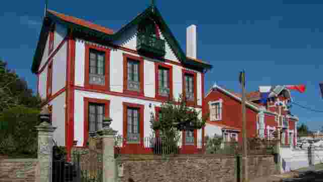
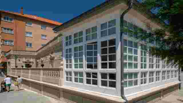
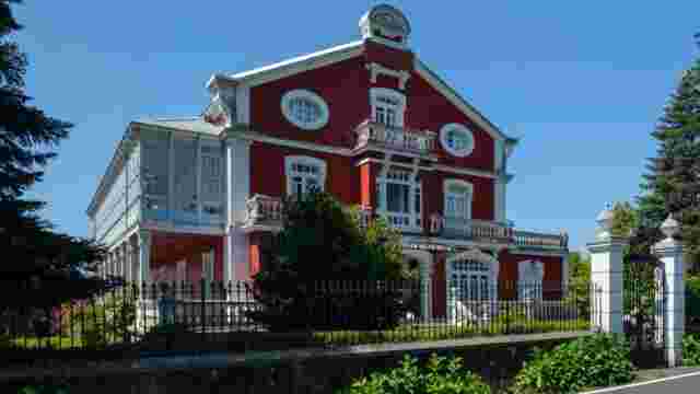
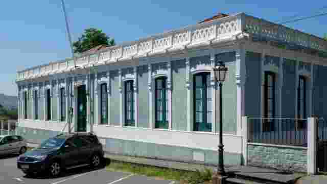
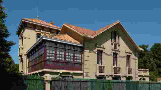
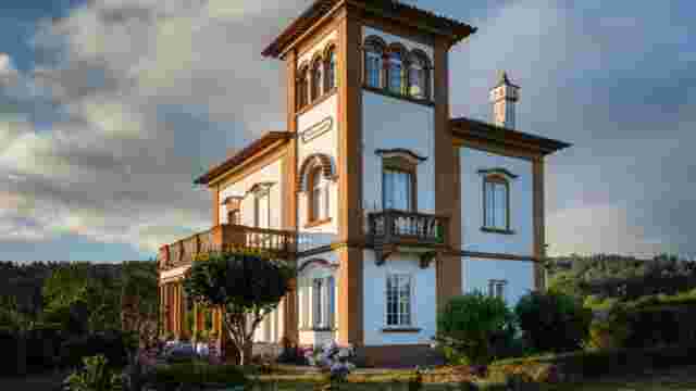
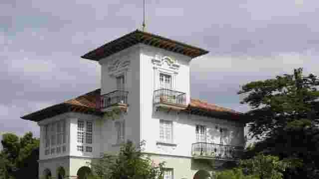
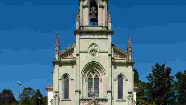
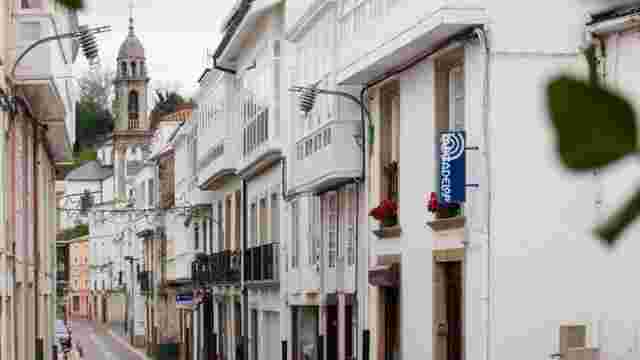
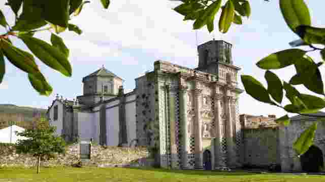
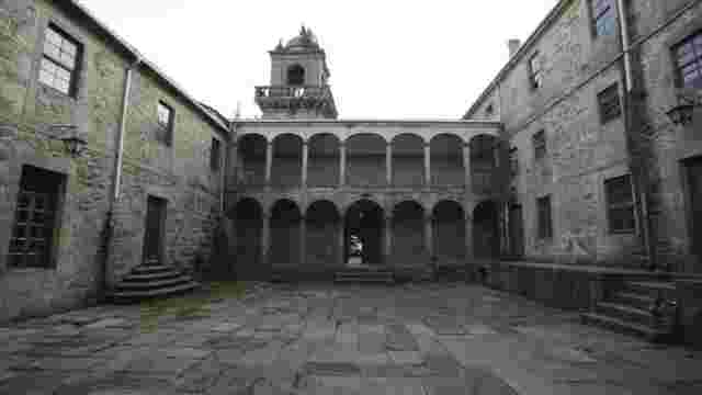
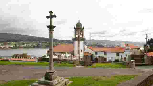
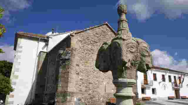
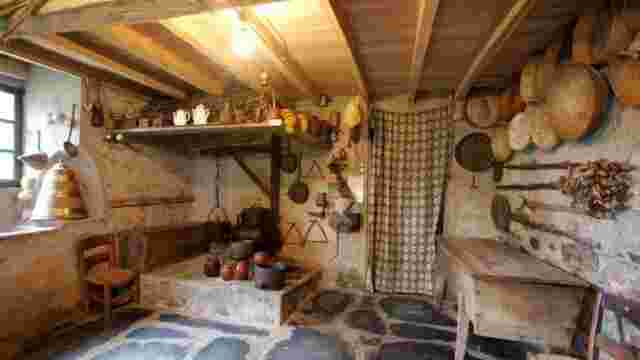
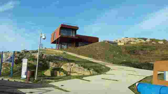
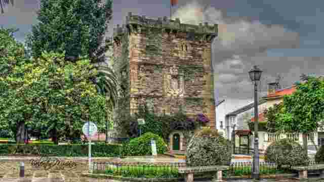
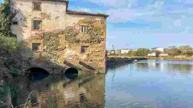
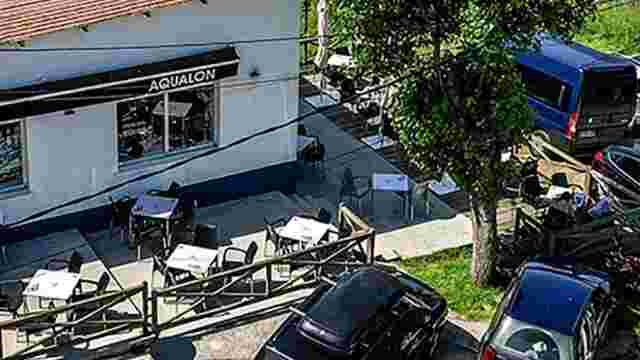
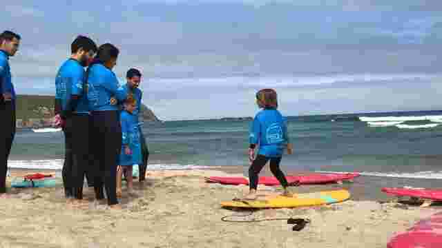
FerrolTerra Tourism map

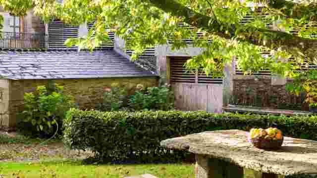
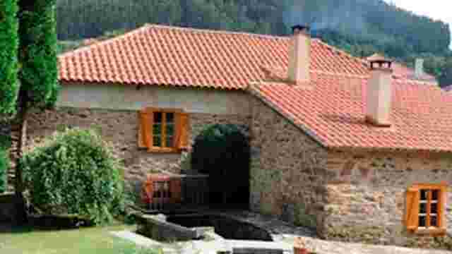
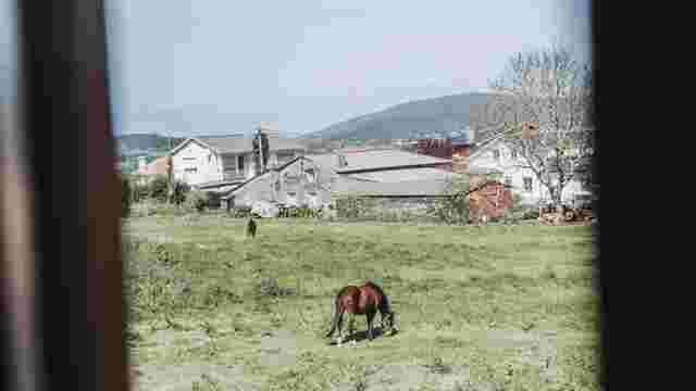
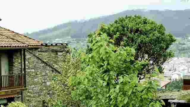
Artabra Coast
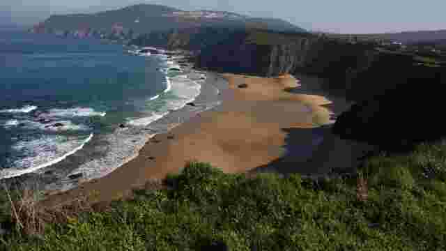
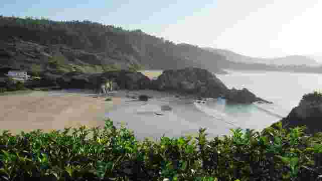
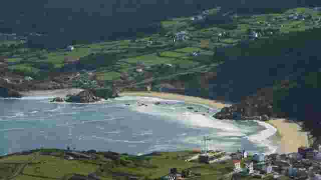
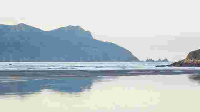
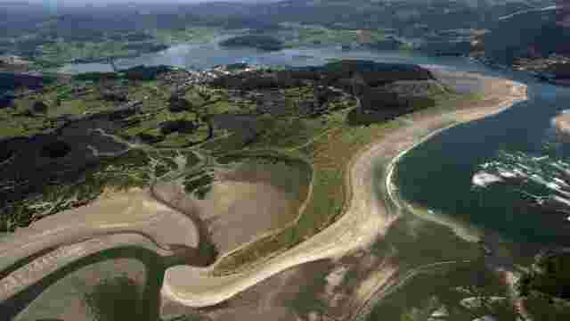
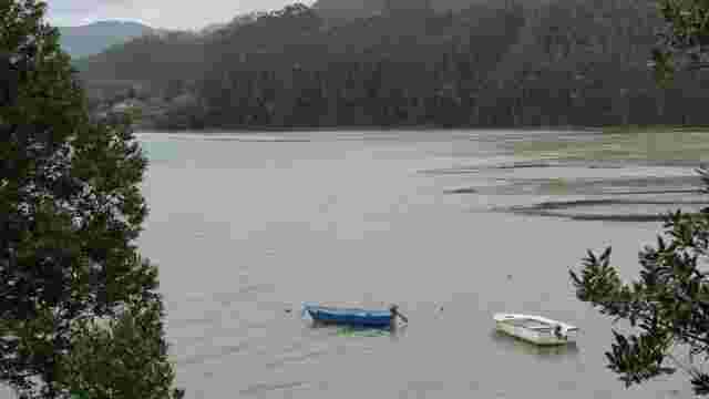
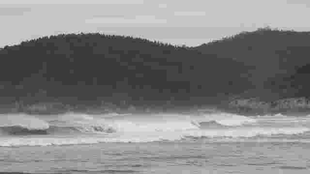
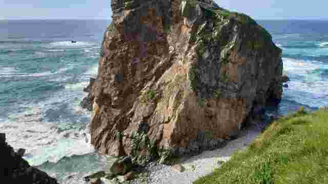
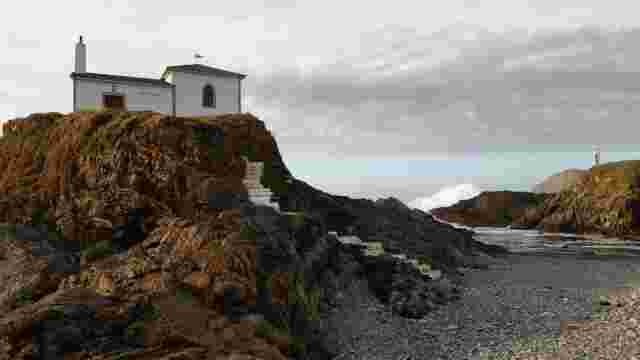
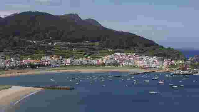
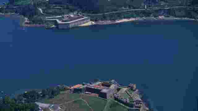
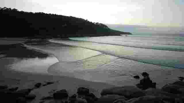
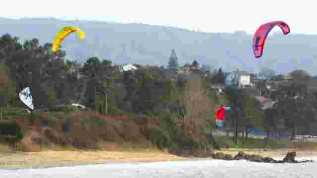
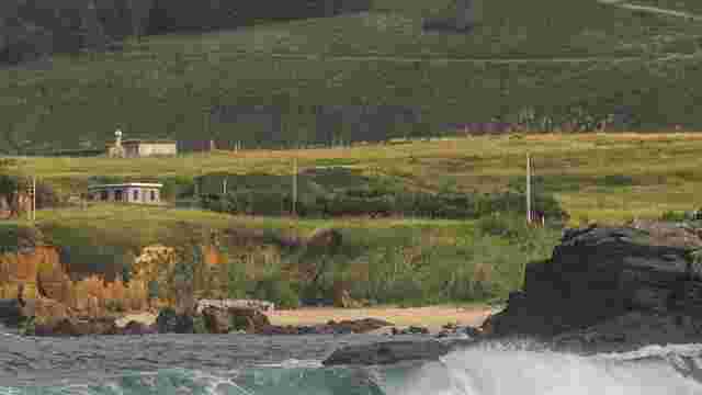
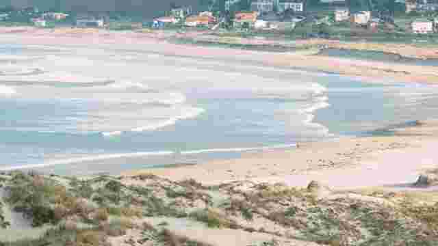
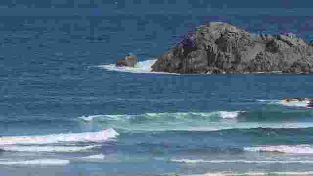
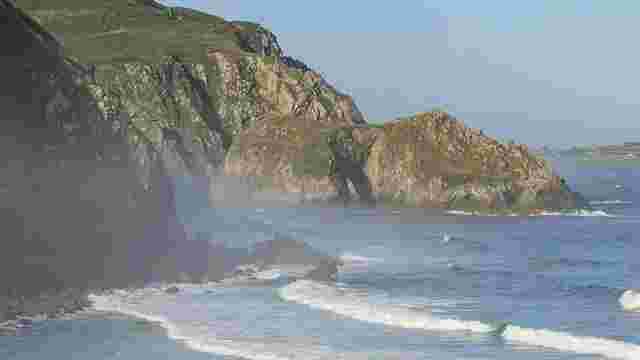
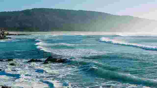
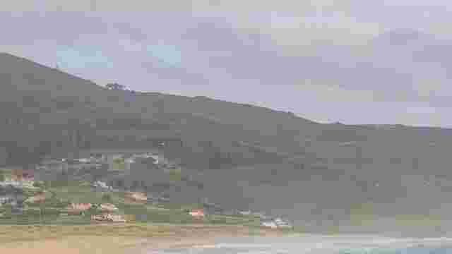
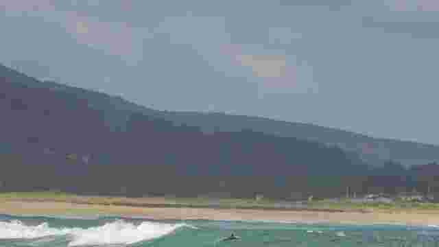
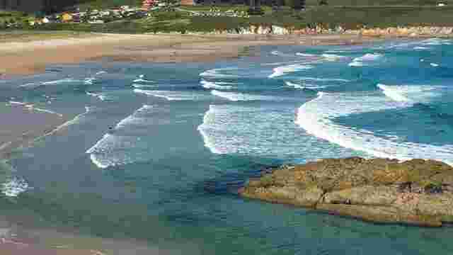
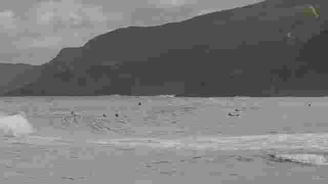
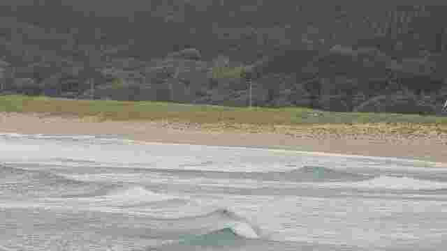
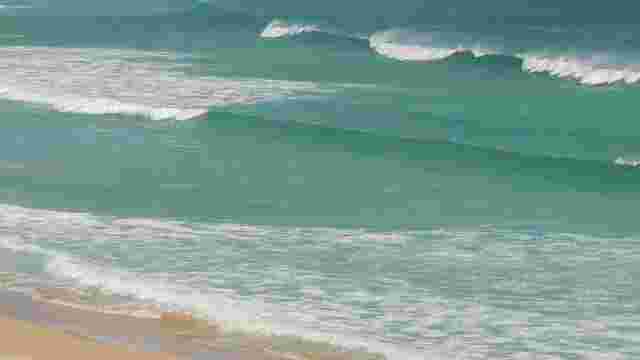
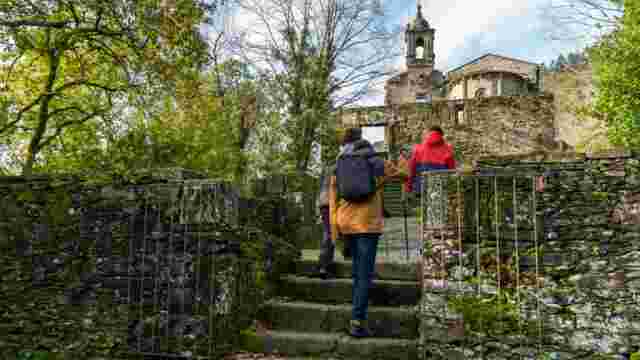
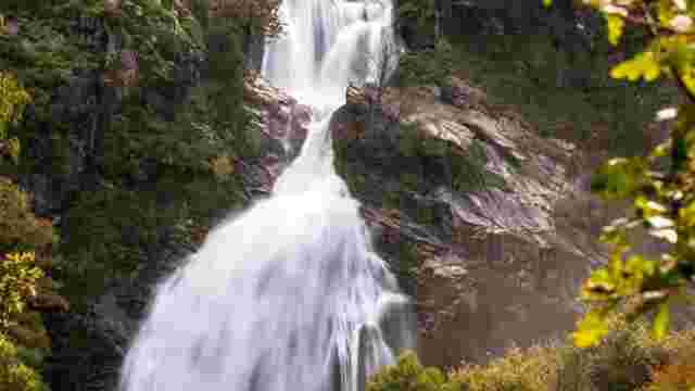
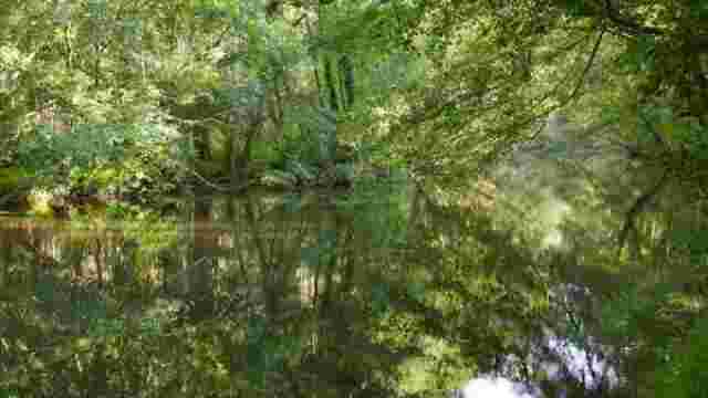
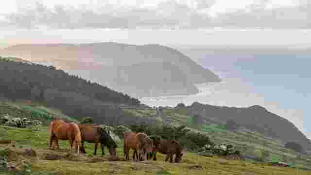
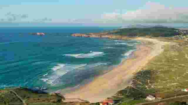
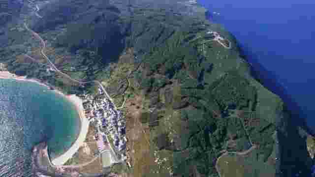
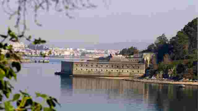
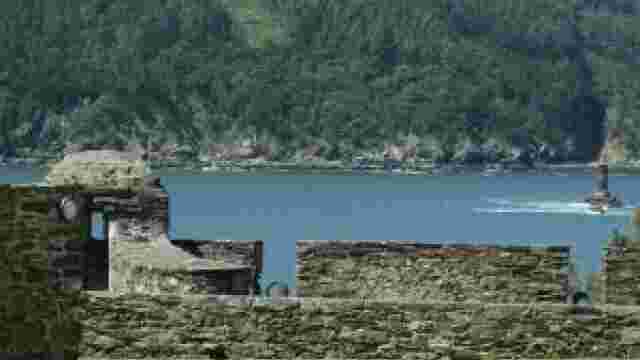
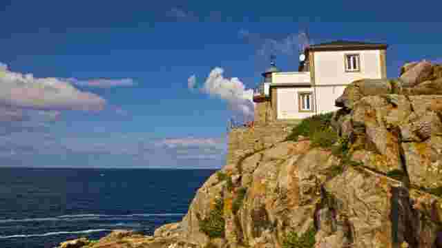
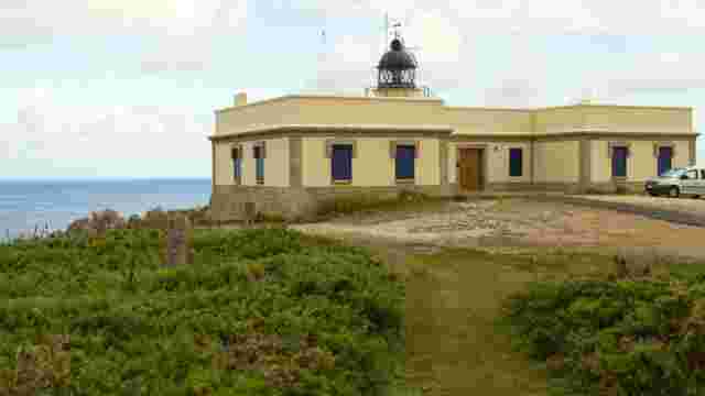
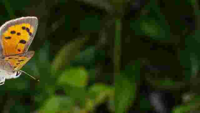
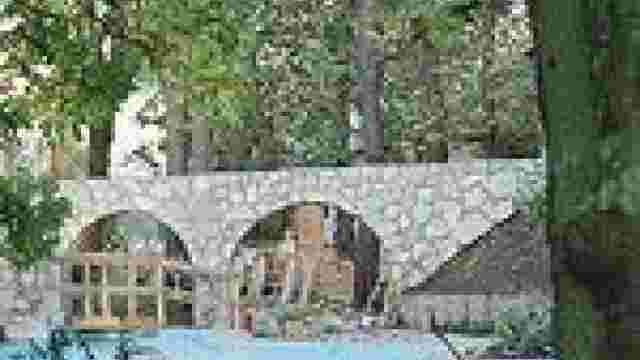
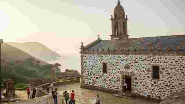
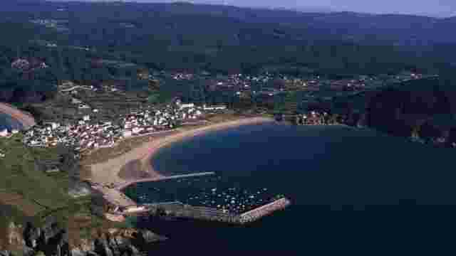
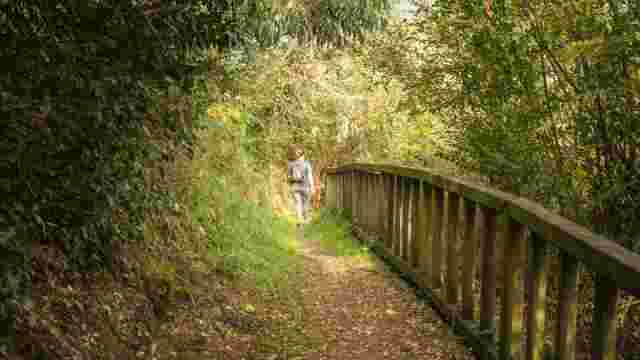
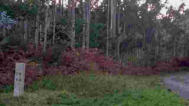
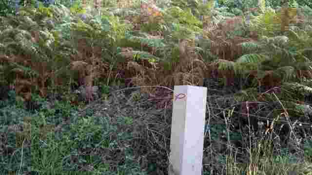
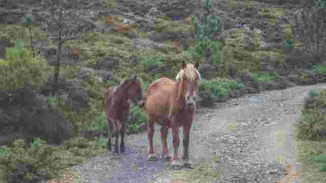
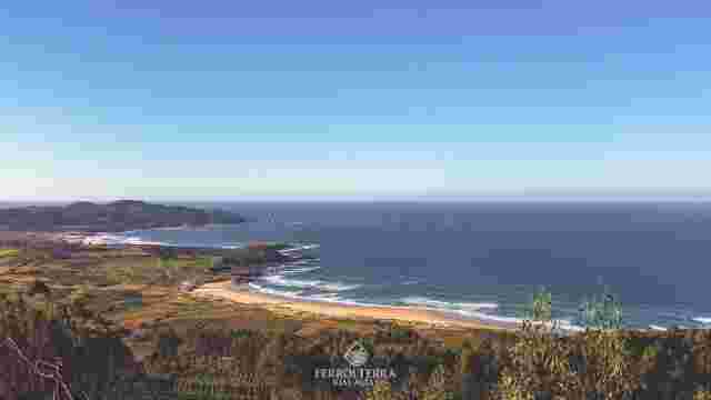
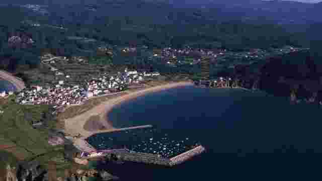
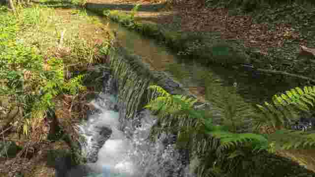
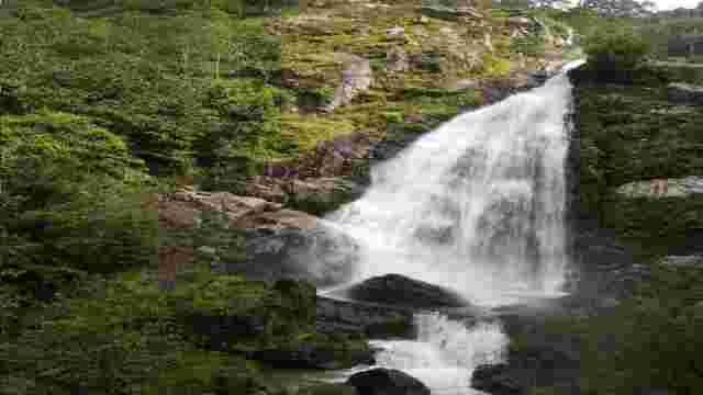
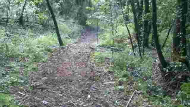
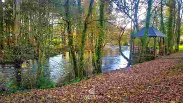
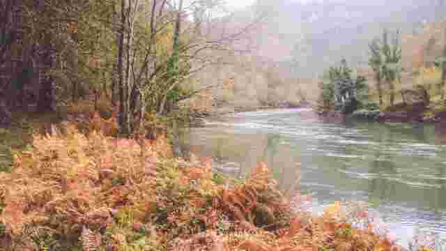
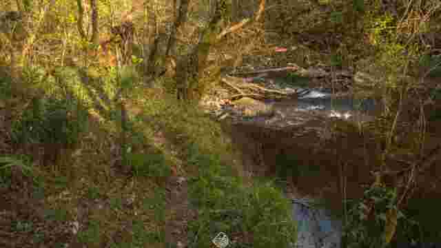
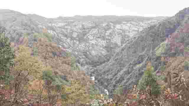
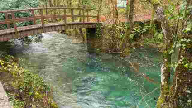
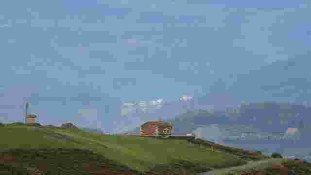
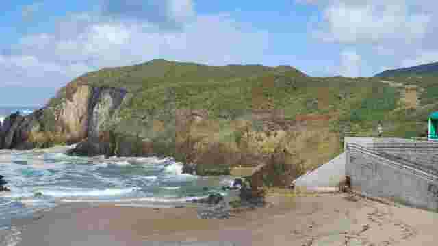
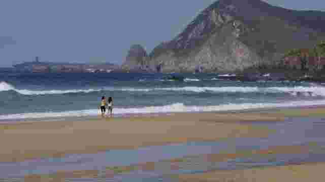
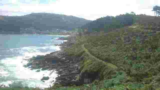
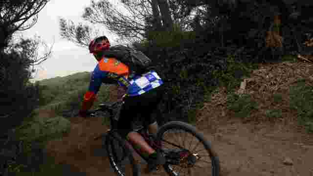
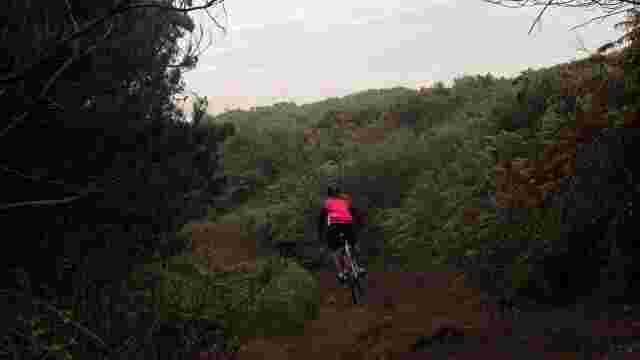
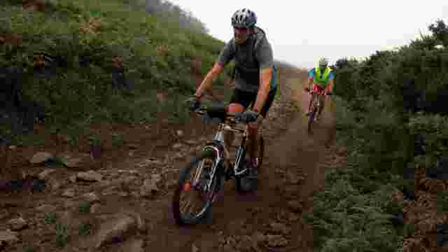
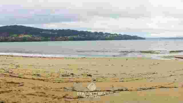
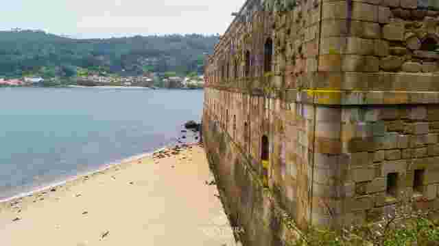
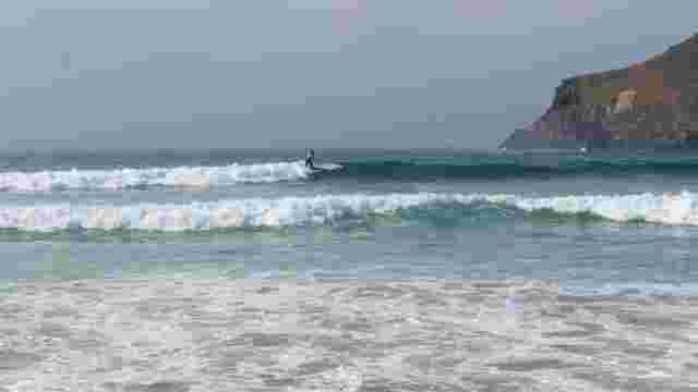
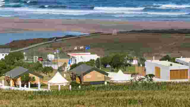
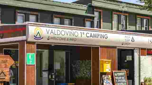
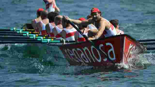
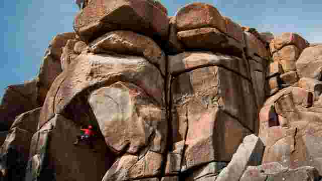
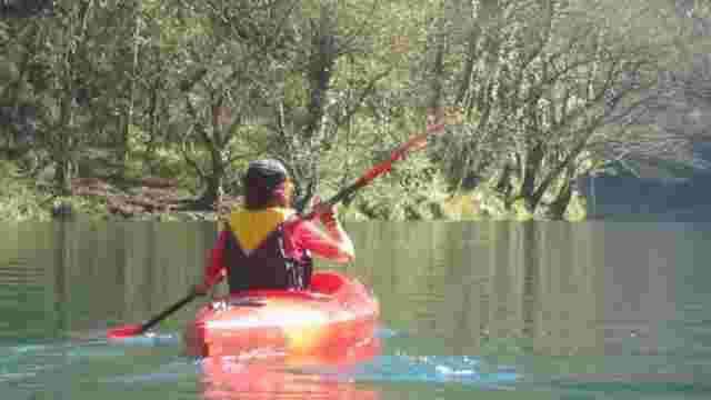
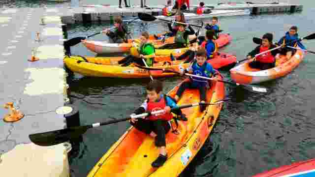
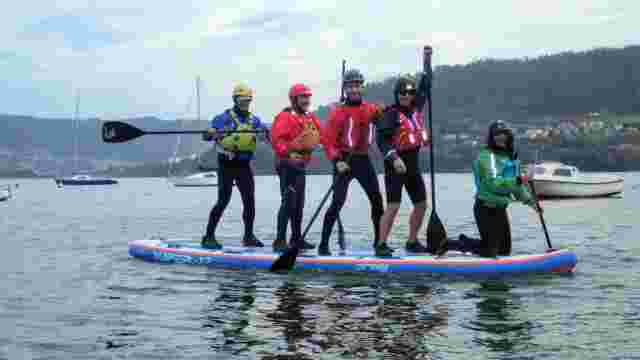
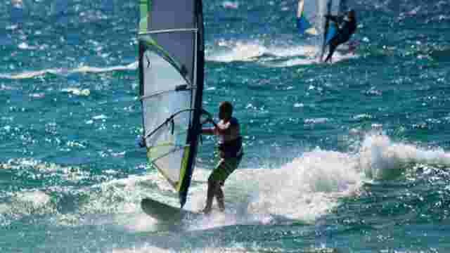
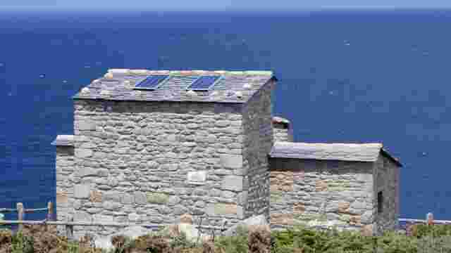
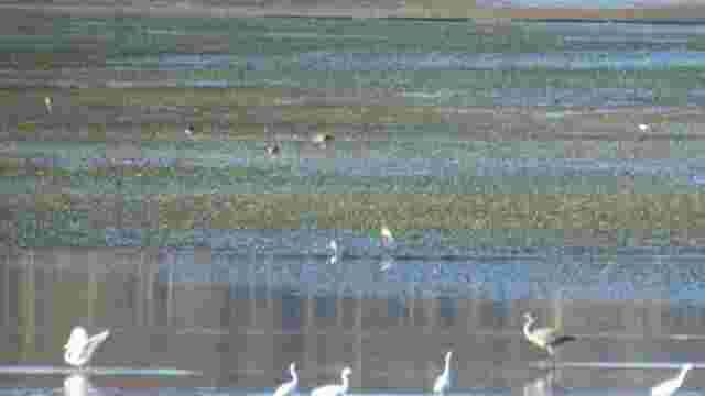
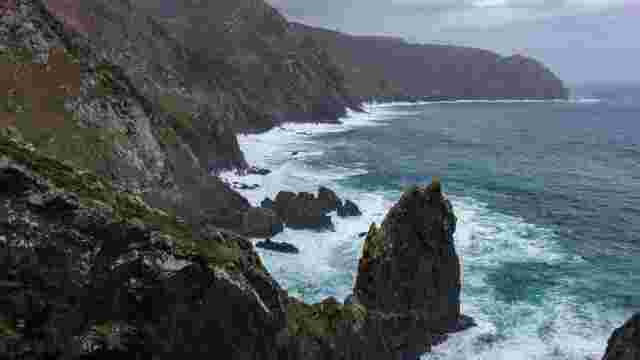
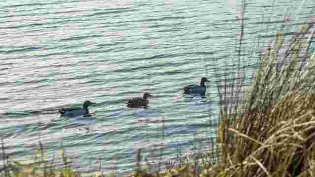
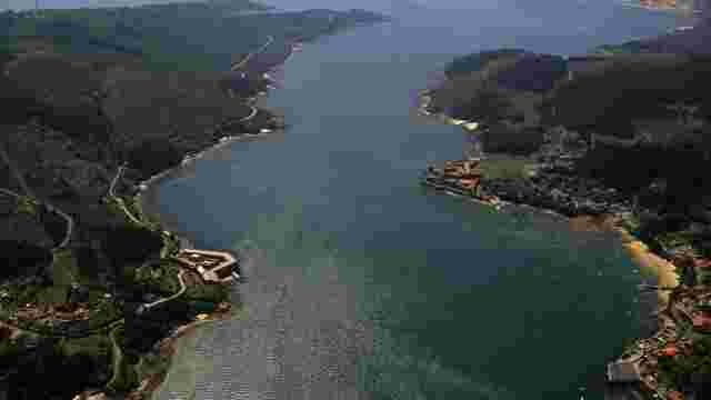
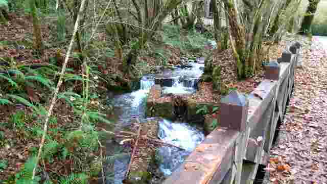
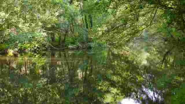
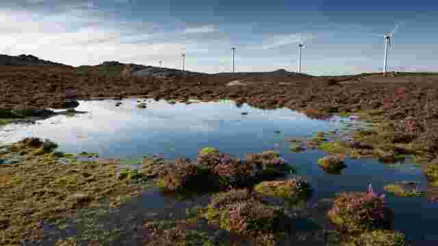
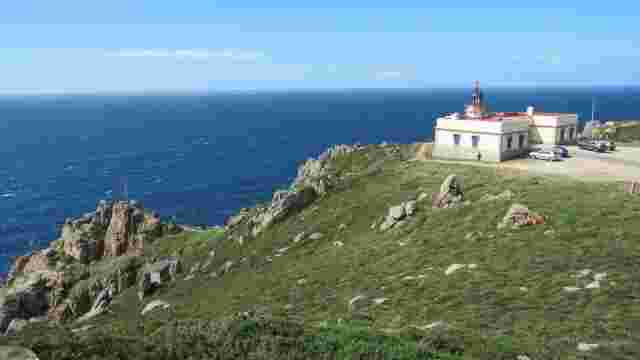
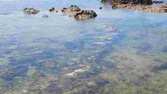
Magnus portus artabrorum, the name by which the Romans called a place in the northwest corner of the Galician coast, between the Ares and Ortigueira estuaries, whose exact location is unknown. Location: it stretches from the Ares estuary to Cape Ortegal. It corresponds to the regions of Ferrol and part of Ortegal, with a surface area of 7,546 ha. Municipalities: Ares, Mugardos, Ferrol, Narón, Valdoviño, Cedeira, Cariño and Ortigueira. Access: the main accesses to the Covas-Doniños area are the local roads near Ferrol. The Meirás Valdoviño-Cedeira area is accessed by local roads AC-566 and AC-113 from Ferrol and Ribadeo. The Candieira-A Capelada Cape Ortegal area is accessed by local roads and DP2205 (Cariño-San Andrés de Teixido) and dp6121 (Mera-Cariño-Viveiro Ribadeo). other Figures of protection: Area of special protection of Natural Values. Special Protection Area for Birds (Zepa Costa de Ferrolterra-Valdoviño). Protected wetland (Valdoviño lagoon and sandy area). Ramsar wetland (Valdoviño lagoon and sandy area). IBa (International Bird Area) 005 and 006 Costa de Ferrolterra Valdoviño. In the extreme south, straddling the estuaries of Ares and Ferrol, runs a winding coastline, rich in contrasts and fishing villages. to the north of the Ferrol estuary, in Prioriño Chico, begins a rocky and high coastline, dotted with small headlands and bays very exposed. Here we can observe a succession of sandy areas with extensive dune systems and steep sea cliffs, such as the beaches of Doniños, San Xurxo, Santa Comba, Ponzos, Valdoviño, Pantín and Vilarrube. the coastal lagoons characterise this stretch, the one at Frouxeira is of brackish and shallow waters with a regular marine influence, while the one at Doniños is of deeper fresh waters. The most abrupt stretch begins in Cedeira, where the relief of the Capelada mountain range reaches heights of over 500m, forming spectacular sea cliffs such as those of Herbeira (613m), where the sanctuary of San Andrés de Teixido is located and where, according to legend, "vai de morto o que non foi de vivo". although there are few islets here, some of them have a great vertical development, forming impressive cliffs, such as Os Aguillós de Cabo Ortegal. in the area there are two areas catalogued as points of international geological interest, Punta Candieira - Cabo Ortegal Complex and San Andrés de Teixido-. This geological and morphological variety determines the appearance of endemic plants (unique in the world) and plants rare in other parts of Galicia, many of them in the dunes. The fauna is well represented in the area, with a predominance of species endemic to the west of the Iberian Peninsula in amphibians and reptiles, although the avifauna is one of the great values of the area. It is home to marine colonies of European storm petrels, tufted cormorants and yellow-legged gulls, and concentrates a great variety of aquatic and marshland birds. it is possible to see the endangered bittern and kentish plover here, and in spring the area becomes an essential refuge for birds on their migrations, especially for the common sandpiper and the black-tailed godwit.